

Latest Weather Blog
Tuesday AM Forecast: Next front brings widespread storms and severe risk
Expect more of the same humidity and warmth for a few days before our next storm system moves in late Wednesday. Widespread storms are expected, with some on the strong to severe side.
Today & Tonight: Tuesday looks mostly cloudy, though the sun will try to poke through occasionally. Thanks to a breeze from the south, we’re still hitting a high in the mid-80s. Rain chances are slim to none, so you likely won’t need the umbrella. Expect a muggy, cloudy night with temperatures bottoming out near 70 degrees.
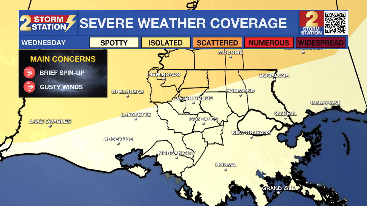
The Next Impact: Keep the umbrella handy for the second half of Wednesday. While we’ll start the day with warm, humid conditions and mainly dry skies, things change as a cold front nears. We might see some stray showers late afternoon, but the real activity ramps up after sunset. A line of storms is expected to sweep through the Capital Region overnight. The good news? It’s a fast-moving system, so we should be back to dry weather by early Thursday morning.

The Storm Prediction Center has issued an early heads-up for Wednesday night, as some storms could be on the stronger side. Most spots north of I-12 are under a Level 2 'Slight' risk for severe weather, while areas to the south are under a Level 1 'Marginal' risk. This basically means that while the storms are moving through, a few could pack a punch. While it won't be a widespread issue, you’ll want to keep your phone charged and alerts turned on late Wednesday. The main things to watch for are strong wind gusts and the possibility of a quick spin-up tornado.
Trending News
We’re looking at about an inch of rain on average across the region. While we don't expect major flash flooding, some heavier pockets of rain could cause minor issues on the roads or in spots with poor drainage. Be extra careful if your neighborhood is still drying out from the heavy rains last weekend.
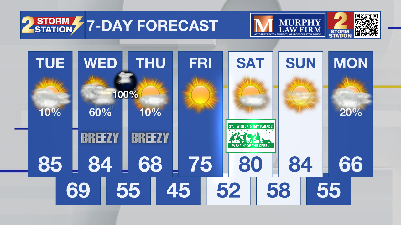
Up Next: The sun is making a comeback just in time for the end of the week and it’s planning to stick around for the weekend. You’ll definitely feel the difference behind that cold front as we will see a refreshing surge of cooler, crisp air. Thursday will top out near 70°, and you might want an extra layer Friday morning when we dip into the 40s. We’ll start warming back up after that, but the weekend stays gorgeous with highs in the 80s and lows in the 50s. It’s looking like a perfect setup for the Wearin’ of the Green parade on Saturday!
Get the latest 7-day forecast and real-time weather updates HERE.
Watch live news HERE.
— Balin
The Storm Station is here for you, on every platform. Your weather updates can be found on News 2, wbrz.com, and the WBRZ WX App on your Apple or Android device. Follow WBRZ Weather on Facebook and X for even more weather updates while you are on the go.
More News
