

Latest Weather Blog
Friday PM Forecast: staying warm, gradually increasing humidity
There are many outdoor events happening in the Capital Area this weekend. Fortunately, the weather will be largely cooperative.
Next 24 Hours: There will not be much change to tonight’s weather versus previous nights. Skies will be mostly clear with low temperatures in the low to mid 60s. Saturday will offer another repeat of mostly sunny skies, southeast breezes of 5-10mph and high temperatures in the mid 80s. Still, humidity should be relatively modest.
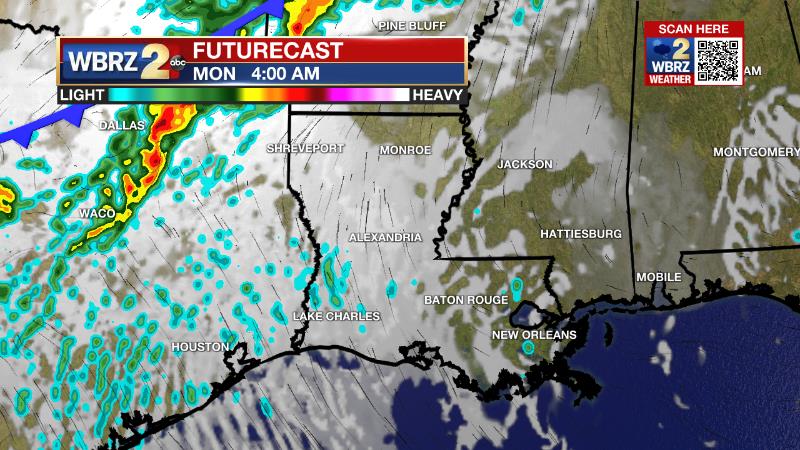
Up Next: Sunday will feel stickier than Saturday. The afternoon will be mostly sunny with highs in the mid 80s. While rain chances will be low through the weekend, by Sunday afternoon, a stray shower could pop. Monday will begin a bit muggy with lows in the upper 60s. Afternoon temperatures will be in the upper 80s with clouds building. A cold front will approach from the northwest leading to a period of scattered showers and thunderstorms Monday evening through Tuesday morning. At this time, that system looks relatively minor with no major threat for severe weather or heavy rain. Drier air will once again follow for the middle of next week. CLICK HERE for your detailed 7-Day Forecast.
The Explanation: A large upper level ridge of high pressure will linger over the Southeast U.S. this weekend. Sinking air beneath the ridge will keep high temperatures into the mid to upper 80s. The associated subsidence will also help to keep afternoon humidity tolerable for a few more days. An upper level trough of low pressure will dig into the Upper Midwest on Sunday and try to weaken the ridge. If the ridge breaks down a bit, a pop-up afternoon shower or thunderstorm will be possible. At this time, it appears the ridge will be firm enough for most locations to remain rain free though. The trough will finally win out over the ridge later Monday, suppressing it enough to allow an eastward advancing cold front to arrive in the local area. This system will be entering a somewhat hostile environment and should be weakening on approach to the area. As is more and more common in late April and May, the cold front may fall apart while crossing the area but should be able to kick out some showers and thunderstorms late Monday into early Tuesday. In the wake of the front, humidity will drop to levels that are more comfortable. Strong surface high pressure will build southward toward the Gulf Coast by Wednesday allowing skies to fully clear. The coldest air behind the front will remain bottled up well to our north. So for Wednesday and Thursday, expect seasonable temperatures with highs in the upper 70s and low 80s and lows in the mid 50s.
Trending News
--Josh
The Storm Station is here for you, on every platform. Your weather updates can be found on News 2, wbrz.com, and the WBRZ WX App on your Apple or Android device. Follow WBRZ Weather on Facebook and Twitter for even more weather updates while you are on the go.
More News
