

Latest Weather Blog
Cooler temps staying north, Karen worthy of U.S. attention
A persistent and quiet weather pattern will continue. There are no high rain chances in the extended forecast though we could have some spotty activity develop by the weekend.
THE FORECAST:
Today and Tonight: Once again, you can expect ample sunshine to drive thermometers into the low 90s by early afternoon. Still, a drier air mass will dominate the region making rain a tough bet and humidity levels tolerable. Overnight readings will slip into the low 70s beneath clear skies.
Up Next: Thursday should remain mainly sunny and warm. An upper level ridge of high pressure will try to slide east by Friday. In doing so, southeasterly winds will transport a bit of moisture inland and this could be just enough for isolated showers to develop Friday and Saturday afternoon. However, coverage will be quite low. Warm temperatures will continue. The Climate Prediction Center outlook into early October offers little hope for significant cooling. The entire Southeast U.S. has a high likelihood of experiencing above average temperatures.
Trending News
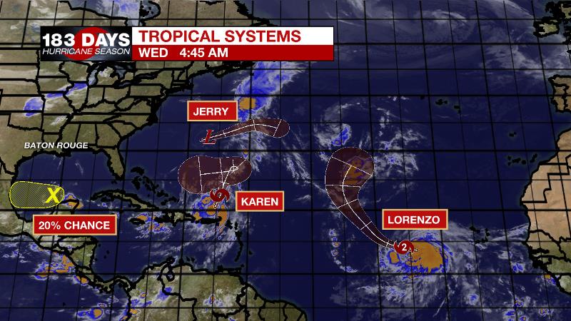
The Tropics: The Atlantic Basin is rather busy, but not overly threatening. Tropical Storm Karen is the most intriguing storm. Now north of Puerto Rico continued heavy rainfall and flash flooding are possible today. By the weekend, the storm will be stalling east of the Bahamas but it is unclear if it will stay on a northern track or slide west toward the United States. An upper level ridge over the Southeastern U.S. is expected to broaden and drift eastward changing the upper level steering winds to the west or southwest. Therefore, early next week, Tropical Storm Karen will begin to drift in that direction toward the Bahamas. With ample warm water, some strengthening is possible so the U.S. will need to continue to monitor this storm.
West of the Cabo Verde Islands, Hurricane Lorenzo is set to become a powerful storm. Fortunately, this system does not pose any imminent threat to land and will eventually turn north and stay out to sea. Jerry has become a remnant low but will still create high surf, rain and wind in Bermuda today. A weak disturbance near the Yucatan Peninsula is given a 20 percent chance of development as it drifts west toward Mexico.
THE EXPLANATION:
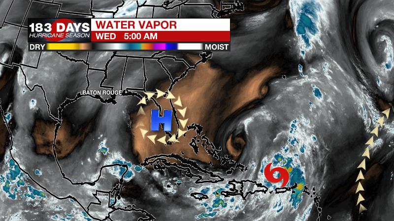
The upper level ridge and surface area of high pressure remains stacked across the Southeast. This is why the pattern has been and will remain warm and dry. In our search for a cold front, the forecast models are hinting at something about 10 days out, but long term models tend to resolve based on climatology and averages. Certainly, by then, since average temperatures are much lower than where they have been, models will be more aggressive in bringing a front through. Confidence on this will remain low until we get closer in time.
--Josh
The WBRZ Weather Team is here for you, on every platform. Your weather updates can be found on News 2, wbrz.com, and the WBRZ WX App. on Apple and Android devices. Follow WBRZ Weather on Facebook and Twitter for even more weather updates while you are on the go.
More News
