

Latest Weather Blog
Trending warmer, turkey travel update
Expect milder temperatures before some showers arrive for the busiest travel day of the year.
THE FORECAST:
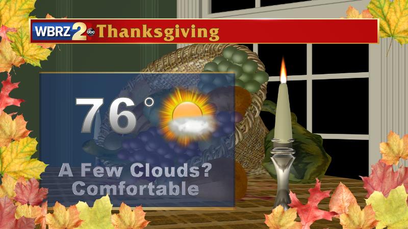
Today and Tonight: Today will be warmer with high temperatures getting into the mid 70s and light southeast winds. Sunshine early will give way to a few clouds in the afternoon and evening hours. Overnight, mostly cloudy skies will lead to much warmer low temperatures in the upper 50s.
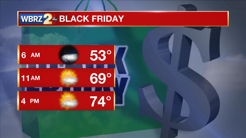
Up Next: A weak front will bring mostly cloudy skies and a couple of showers to the area on Wednesday, mainly during the afternoon hours. Not all will receive rain. There could be some travel delays—especially if you are flying to a major city near the Mississippi River or the Pacific Northwest. Showers and thunderstorms from the front will stretch from the Gulf Coast northward to Chicago. Locally, temperatures will be mild ahead of that front with highs in the mid 70s. The front should crawl eastward by Thanksgiving. So, at the moment, the forecast is dry for Thanksgiving and Black Friday, though some clouds may linger behind that front. It is not a strong system so a seasonable feel is expected after the front passes, right through the weekend. Highs will be in the low 70s with lows in the low 50.
Trending News
The Tropics: After being designated Monday, Tropical Depression 16 quickly strengthened into Tropical Storm Otto by afternoon. The stationary storm has 60mph winds and is expected to drift west, eventually crossing Central America as a hurricane. The system will not affect the United States.
THE SCIENCE:
A mid-level ridge will keep skies mainly clear through Tuesday. A shortwave trough moving eastward will cut across the Ozarks and into the Ohio River Valley on Wednesday. This trough will have an attendant cold front however, which will be able to produce a few showers across the area. Prior to that front, high and low temperatures will run 5-10 degrees above average Tuesday to Wednesday Afternoon. The ECMWF is a little bit more aggressive wit precipitation than the GFS, but with either choice, the amounts should be not be impressive enough to put a dent in the drought. The air mass trailing this front is of more Pacific Origin than the one last week and therefore temperatures will only scale back to average readings. Again there is a difference in the ECMWF and GFS models for Thanksgiving. The European trends slower with the frontal passage and hangs a few showers across the region. The American model clears skies out much faster. With a drier air mass behind the front it seems lingering clouds would be the worst case scenario with rain is not in the forecast right now. A couple of weak disturbances sliding through the upper levels could again bring some passing clouds on Friday but moisture remains limited and showers don’t seem possible. By Sunday, a slightly stronger wave and approaching front may have a better chance at creating some precipitation. Through the weekend though, no major change in thermometers is expected with highs and lows running very close to average.
--Josh
More News
