

Latest Weather Blog
Cresting rivers after Saturday soak, showers return late week
Minor river flooding will continue after three to six inches of rainfall across the forecast area on Saturday. Most gauges will crest about a foot above flood stage on Monday and then fall through the week. Sunny weather will start the week, but a bit of chill will return to the air. Temperatures are forecast to stay above freezing in most neighborhoods, but it will be a close call.
THE FORECAST:
Today and Tonight: The new week begins with sunny skies and highs in the low to mid 60s. The all clear stays posted overnight with lows in the low to mid 30s. As is typical, thermometers may dip a little lower as you approach the Florida parishes and Mississippi counties to the north of Baton Rouge.
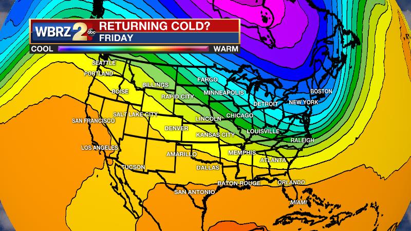
Up Next: With a weak cold front through the area on Tuesday, clear skies will stick but cooler temperatures are expected with highs in the 50s. Following that, a freeze is a bit higher chance on Wednesday morning. Clouds will increase into Thursday, as does the chance of a few showers Thursday night into Friday morning with another weak front. Rain amounts look very minor with this system. It is questionable as to much clearing occurs between this system and the next which comes by the second half of the weekend. At this time, it appears as though most outdoor events on Saturday, especially those happening early, will stay dry. The cold front on Sunday will bring more clouds and showers, as well as a punch of chilly air. All of the excitement that circulated on social media last week seems unfounded, as temperatures currently are not expected to dip much lower than freezing, if they get there at all. The deepest cold air will likely remain north and east of the Baton Rouge area.
Trending News
THE EXPLANATION:
A weak, reinforcing front will push south across the Gulf Coast tonight into tomorrow. The main upper level trough will continue eastward as this occurs and both features therefore will keep moisture well south of the region. Beyond the front dry weather and cool to seasonable temperatures will prevail through Wednesday. A light freeze is possible across southwest Mississippi and parts of east central Louisiana both Tuesday and Wednesday mornings. The next storm system will approach from the northwest on Thursday. Tapping Gulf of Mexico moisture, this cold front will likely stir up a few showers, but simply will not have as much gusto as the Saturday soaker. Limited lift will likely cut down on rain coverage. The front will move across the area on Thursday night pushing deep moisture closer to the coast where it will reside through the first half of the weekend. Still, clouds and showers may stick on Friday in close proximity to the front. Moisture may retreat north on Sunday, returning unsettled weather before another cold front pushes through on Monday morning with a bit more potential for temperatures to drop below freezing.
--Dr. Josh
The WBRZ Weather Team is here for you, on every platform. Your weather updates can be found on News 2, wbrz.com, and the WBRZ WX App. on Apple and Android devices. Follow WBRZ Weather on Facebook and Twitter for even more weather updates while you are on the go.
More News
