

Latest Weather Blog
Saturday evening video forecast
Related Story
While today was mainly dry, that will not be the case tomorrow. Widespread showers and storms look likely. These storms will carry a heavy rainfall threat.
Tonight & Tomorrow: The first half of tonight is looking relatively dry with increasing clouds. As we get later into the overnight hours, showers and storms we begin to approach from the west. By daybreak, lows will be near 64 degrees. Also at this time, showers and storms will be moving in. Widespread storms will be likely for the first half of the day. As we get closer to 2-3 pm, rainfall will begin to taper off. Lingering spotty showers will still be possible. Heavy rainfall will be a threat with this system. Some isolated instances of flash flooding can not be ruled out. By the end of tomorrow 1-3'' will be possible with isolated higher amounts. Highs will only top out in the lower 70's.
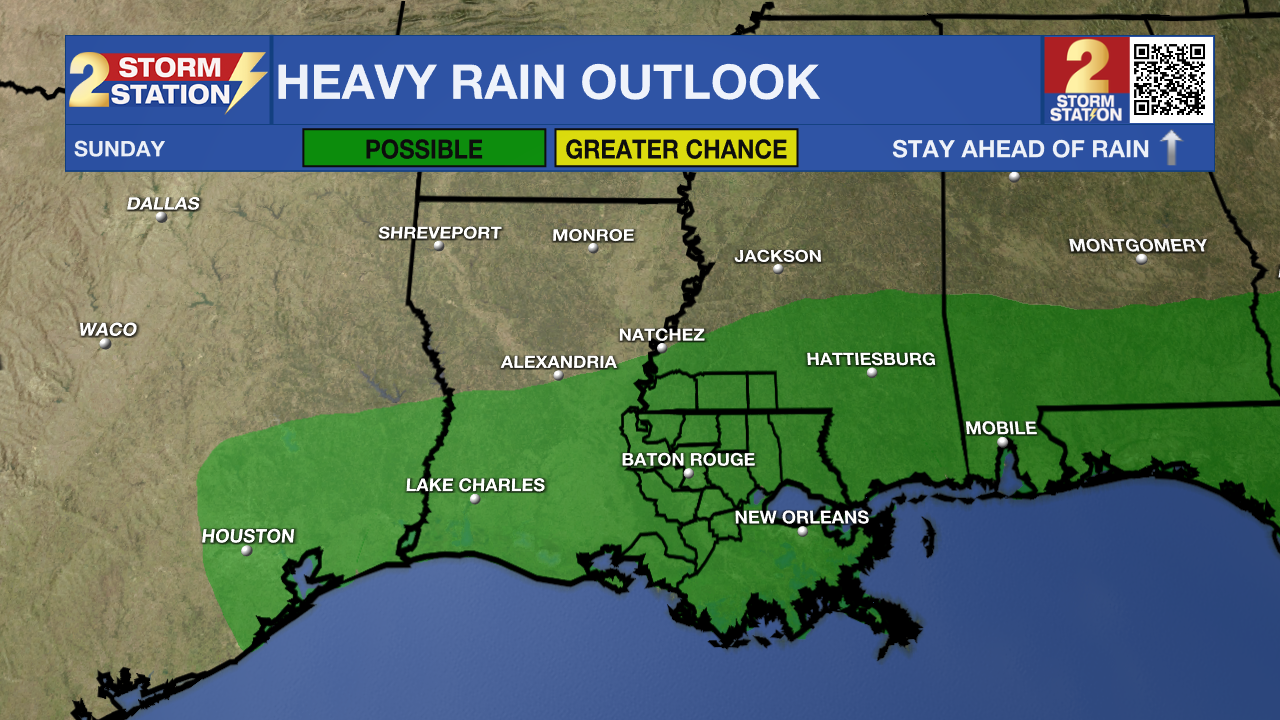
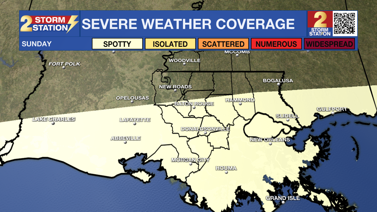
There is also a small severe weather threat. At this time, it only looks like spotty severe storms will be possible. Any storms that do go severe will have the chance of producing gusty winds, hail, and a brief spin up tornado.
Up Next: Colder air will begin to enter the area Sunday night. This colder air mass will stick around through the first half of the week. Highs will be in the mid 60's. Tuesday mornings low could be in the upper 30's. The area will be dry Monday through Wednesday, before our next system arrives late next week.
Get the latest 7-day forecast and real time weather updates HERE.
Watch live news HERE.
-- Balin
The Storm Station is here for you, on every platform. Your weather updates can be found on News 2, wbrz.com, and the WBRZ WX App on your Apple or Android device. Follow WBRZ Weather on Facebook and Twitter for even more weather updates while you are on the go.
News
