

Latest Weather Blog
Friday PM Forecast: two days dressing two different ways, freeze potential early next week
Unseasonable warmth will continue through the end of the week, but don't get too comfortable in those short sleeves because a significant shift is expected soon. We are tracking a cold front, which will turn the weekend into a "tale of two days" as spring-like highs transition to winter-like lows.
Saturday: sun and clouds, scattered thunderstorms, unseasonably warm
Sunday: breezy and much cooler
Early Next Week: chilly with light freezes possible north of interstates
Tonight & Tomorrow: Passing, light showers will be possible tonight, though most locations will be dry most of the time. Otherwise, expect mostly cloudy skies with some patchy fog possible near dawn, especially south of I-12 and near the lakes. It will feel muggy with low temperatures, keeping to the upper 60s. Saturday will feel much like the end of the week with warm and muggy temperatures. The day will start in the upper 60s and peak in the low 80s. A cold front will be moving south through the Capital Area, triggering scattered showers and even a few thunderstorms. It will not rain everywhere, and the day will not be a washout, but an indoor break option will be a good idea in case you catch one of those showers or thunderstorms.
Trending News
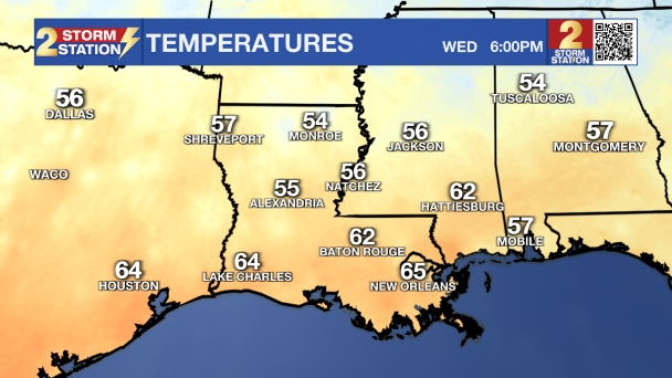
Follow live temperatures as the cold front arrives on wbrz.com and the Storm Station Weather App.
Up Next: The main weather impact of the weekend will arrive Saturday night. Behind the cold front, temperatures will tumble by about 20 degrees into Sunday with a cooler and drier finish to the weekend. The morning lows will be in the mid 40s with the afternoon highs just barely back into the 60s. Note the north winds will be brisk at 10-15mph with occasional gusts over 20mph.
By Monday and Tuesday morning, expect our coldest temperatures in a while. Highs on Monday will struggle to reach 60 degrees, and then a light freeze is possible for many areas overnight, especially along and north of the I-10/I-12 corridor. Because of our recent warm spell, many plants have already started to "green up" and come out of dormancy. These tender buds are very sensitive to freezing temperatures, so you'll want to cover them or bring them inside by Sunday night!
Relative to the early winter chills, this one will be short-lived. Winds will turn back out of the south by Wednesday with highs straight back to the 70s.

Get the latest 7-day forecast and real-time weather updates HERE.
Watch live news HERE.
– Josh
The Storm Station is here for you, on every platform. Your weather updates can be found on News 2, wbrz.com, and the WBRZ WX App on your Apple or Android device. Follow WBRZ Weather on Facebook and X for even more weather updates while you are on the go.
More News
