

Latest Weather Blog
Tuesday PM Forecast: tropical disturbance stays south, pattern warm and quiet
An *AIR QUALITY ALERT* is in effect on Wednesday. The Louisiana Department of Environmental Quality is forecasting an Ozone Advisory Day for East Baton Rouge, West Baton Rouge, Livingston, Ascension, Iberville, and Pointe Coupee Parishes.
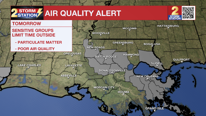
Thanks to warm temperatures, light winds and lingering smoke in the atmosphere, the Air Quality Index indicates that ozone will be at the Orange level, which is unhealthy for sensitive groups. Increasing ozone levels may cause unhealthy air quality during afternoon hours. Active children and adults, the elderly, and people with respiratory diseases such as asthma should avoid prolonged outdoor exertion.
Please take whatever voluntary steps you can to reduce emissions that contribute to ozone formation. Drive less and make sure your automobile is in good working condition. Make sure your gas cap is tight. Wait until after 6 PM to refuel your vehicle and use gas powered lawn equipment.
Tonight & Tomorrow: Expect mostly clear skies overnight with low temperatures drifting back into the upper 60s. Wednesday will gradually warm again with high temperatures reaching the low 90s in most neighborhoods. A mix of sun and clouds and a spotty shower could try to pop during the afternoon hours, but measurable rain coverage will be very low at just 10 percent of the viewing area or less.
Trending News
Up Next: The workweek will end with partly sunny skies and little more than a rogue shower. Thursday may offer the best (but still low) chance, especially north and east of the city. Look for highs around 90 and lows around 70. Into the first weekend of June, expect seasonably muggy conditions with temperatures remaining steady. A little increase of moisture in the atmosphere may be just enough to support isolated showers and thunderstorms with daytime warming. Certainly, there is no danger of either afternoon turning into a wash.
Get the latest 7-day forecast and real time weather updates HERE.
Watch live news HERE.
The Tropics: An area of disorganized showers and thunderstorms is associated with a surface trough of low pressure interacting with an upper-level trough over the central Gulf of Mexico. Environmental conditions appear only marginally favorable and there is a twenty percent chance for additional development over the next several days as the system meanders over the eastern Gulf of Mexico. The system is then forecast to move across the Florida Peninsula this weekend and emerge into the southwestern Atlantic Ocean by early next week. Regardless of development, the system could produce heavy rainfall and gusty winds over portions of the Florida Peninsula later this week. No impact to the local area is expected.
--Josh
The Storm Station is here for you, on every platform. Your weather updates can be found on News 2, wbrz.com, and the WBRZ WX App on your Apple or Android device. Follow WBRZ Weather on Facebook and Twitter for even more weather updates while you are on the go.
More News
