

Latest Weather Blog
Wednesday PM Forecast: front on track for Friday night
Two more warm and humid afternoons are expected before a much anticipated cold front blows through. Pleasant weather is in store for your weekend.
Next 24 Hours: The nighttime hours will be quiet, mostly clear and muggy with low temperatures in the low 70s. On Thursday, partly sunny skies will again rive temperatures into the upper 80s. Unlike the previous couple of days, just enough moisture and instability may be available for a stray, light shower late in the day.
Up Next: Another warm afternoon is on tap for Friday before a cold front works into the region. This system could stir up some showers and thunderstorms and the currently anticipated timing suggests those with evening high school football plans should stay in touch. Rain will end from west to east by daybreak Saturday as the front exits. It will be a breezy day with northerly winds of 10-15mph pushing away any sensible humidity and holding highs in the 70s. As cool air continues to press in, lows will then be in the low 50s into Sunday. Quiet and cool conditions will prevail through Tuesday with highs in the 70s and lows in the 50s. CLICK HERE for your full 7-Day Forecast.
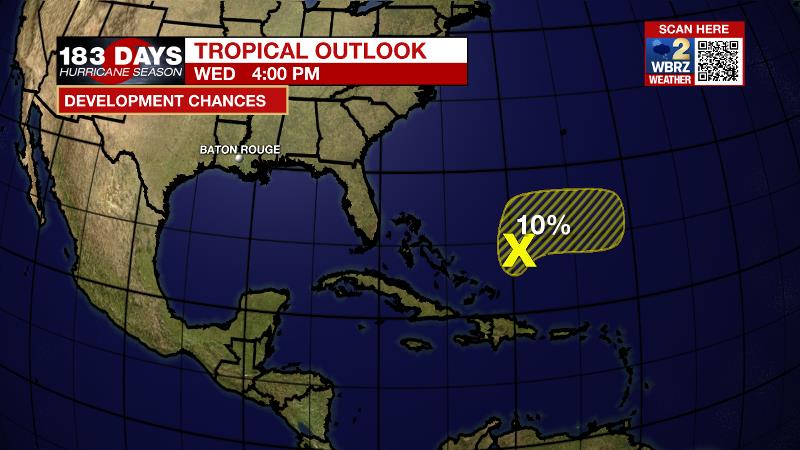
The Tropics: A broad low pressure system has formed northeast of the Turks and Caicos. There is only a 10 percent chance of further development due to unfavorable upper-level winds and by the end of the week, it will interact with a frontal system. For the latest tropical forecasts, advisories and information, visit the WBRZ Hurricane Center as we navigate all 183 Days of Hurricane Season.
Trending News
The Explanation: An upper level trough over the Mountain West will begin the break east with an associated surface storm system by Thursday. Tropical Storm Pamela, moving across Mexico, will help to deepen the trough and break down an upper level ridge over the local area. A little bit of upper level moisture, straying east away from Pamela could draw down enough moisture for a spotty shower on Thursday. More importantly, these features will ensure that the upper level cold pool is deep enough to push a cold front through the local area Friday into Saturday. Days of southerly flow should leave enough moisture established for the front to create a broken line of showers and thunderstorms late Friday. Ingredients will not be favorable for severe weather or heavy rain. Since the boundary will be progressive, there will likely only be about a 6-12 hour window for precipitation. Behind the front, northerly winds will send moisture out of the area and temperatures below average. Expect highs in the mid to upper 70s and lows in the low to mid 50s.
--Josh
The WBRZ Weather Team is here for you, on every platform. Your weather updates can be found on News 2, wbrz.com, and the WBRZ WX App on your Apple or Android device. Follow WBRZ Weather on Facebook and Twitter for even more weather updates while you are on the go.
More News
