

Latest Weather Blog
Celebrating the worlds first weather satellite
On April 1, 1960, NASA launched TIROS-1, the world’s first successful meteorological satellite. A couple years before, on October 4, 1957, the Soviet Union launched Sputnik 1, which began the space race between the United States and the Soviet Union. The U.S.’s first operational satellite was launched a year later in 1958 as Explorer-1, which was the first U.S. satellite in orbit. The Explorer series of satellites numbered 59 in all, from 1957 to 1981. It was not until November 3, 1960 that Explorer 8 studied the Ionosphere its atmospheric composition.
A couple months before on April 1, 1960, NASA launched the Television Infrared Observation Satellite (TIROS-1). The satellite weighed around 270 pounds and carried two television cameras and two video records, providing meteorologists with their first ever view of cloud formations. It also provided us with the first pictures from space.
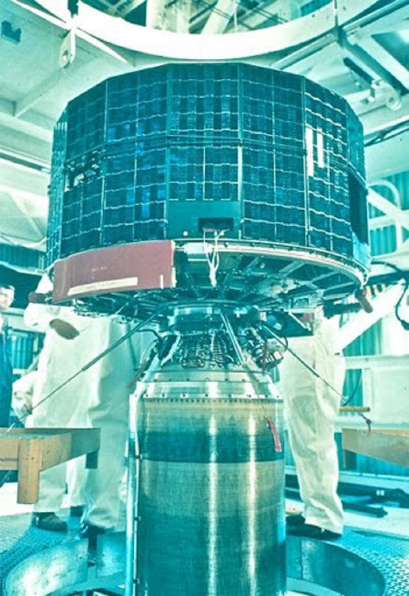
Image: The TIROS-1 Satellite
Image Credit: NASA
Trending News
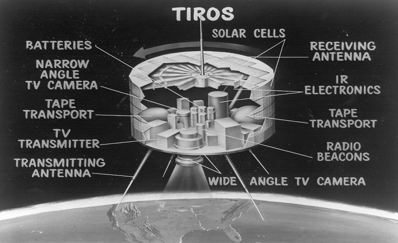
Image: An artist' rendering of the instruments onboard TIROS-1
Image Credit: NASA
“It was really a milestone in the history of weather observations,” states Stephen Volz, Ph.D, Assistant Administrator of NOAA’s Satellite and Information Service. “TIROS-1 changed our perspective. Up to that point, we were very local in our understanding and out interpretation of weather phenomena.”
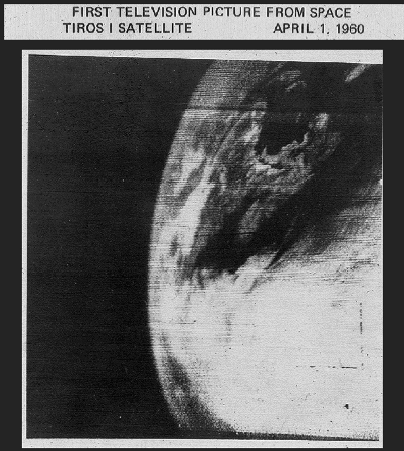
Image Credit: NASA
TIROS-1 orbited 450 miles above the Earth and up to 32 images could be recorded for playback on 35-mm film for making prints. The satellite operated for only 78 days, but in that time sent back more than 19,000 usable pictures proving how imperative this new technology would become in aiding in weather forecasters across the globe. The first image from the satellite was a fuzzy picture of thick bands and clusters of clouds over the northeastern United States. An image captured a couple days later revealed a typhoon about 1,000 miles east of Australia.
Title Image Credit: NASA
More News
