Saturday evening video forecast
Related Story
The last chilly start of the foreseeable future occurred this morning. Temperatures warm from this point forward, meaning get ready for a warm Christmas!
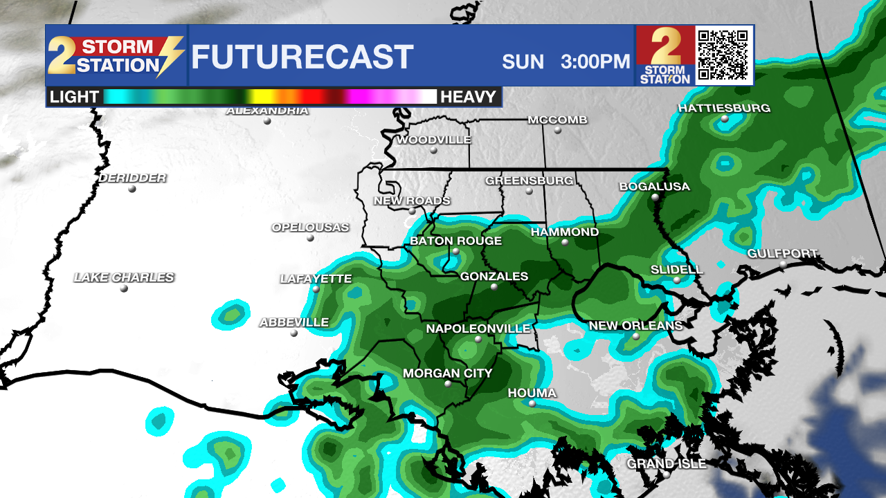
Next Best Rain: Clouds have moved in, and they are here to stay overnight. This will only allow lows to drop in the lower 60s. After midnight, isolated showers will be possible as a cold front approaches from the north. This front will not reach us, but will be close enough to drive scattered showers and a few thunderstorms throughout the day Sunday. Highs will reach into the mid to upper 70s under mostly cloudy skies. We will stay under the influence of the front late Sunday and early Monday. Isolated showers will be the result, with lows in the lower 60s. A few showers will stay possible through midday Monday, with decreasing rain chances in the afternoon and evening. Clouds will stay in place, and highs will reach the mid-70s. Overall, most will struggle to reach 0.50", but isolated bullseyes near 1" are possible.

Use the slider to advance through the next 24 hours of Futurecast
Up Next: After the early week clouds and showers, a strong ridge of high pressure will build over the area. This will lead to a lot of sunshine and continued warm temperatures. Highs will reach the mid to upper 70s every day, with lows in the mid to upper 50s. Patchy fog will be possible in the early morning hours. This pattern could continue throughout the rest of the calendar year.
Get the latest 7-day forecast and real-time weather updates HERE.
Watch live news HERE.
– Balin
The Storm Station is here for you, on every platform. Your weather updates can be found on News 2, wbrz.com, and the WBRZ WX App on your Apple or Android device. Follow WBRZ Weather on Facebook and X for even more weather updates while you are on the go.


