

Latest Weather Blog
Tornado Watch Issued for the entire WBRZ Viewing area
*NEW*
The National Weather Service has issued a TORNADO WATCH for ALL PARISHES and COUNTIES until 10 p.m.
A TORNADO WATCH means conditions are favorable for tornadoes and/or damaging winds in and around the watch area. Be on the lookout for threatening weather conditions and listen for later statements and possible warnings. If a tornado warning is issued, seek shelter in a low-level, interior room of a sturdy building. For more on tornadoes and how to stay safe, CLICK HERE.
*TORNADO WATCH* for the shaded area. We're tracking storms and will bring you warnings, if issued. #lawx #mswx pic.twitter.com/XFiCDdDpZm
— WBRZ Weather (@WBRZweather) October 27, 2021
A SEVERE THUNDERSTORM WATCH means conditions are favorable for storms to produce damaging winds in excess of 60mph, torrential rain, hail and possibly a tornado in and around the watch area. Be alert to threatening weather conditions, later statements and possible warnings.
Remember, a watch means, “conditions are favorable, and a particular threat could develop” and a warning means, “that threat is happening and you should take action immediately.”
Trending News
CLICK HERE TO WATCH live storm coverage.
THE FORECAST
Today & Tonight: Stay weather aware today. There is a level 2/5 SLIGHT RISK for severe weather from Baton Rouge on east. Some areas, including East Baton Rouge, Livingston, and Ascension Parishes are under a level 3/5 ENHANCED RISK for high winds and possible tornados. Showers and storms will move through the entire WBRZ viewing area this afternoon with very gusty, potentially damaging winds. Heavy downpours and strong winds will make for difficult driving conditions in the Baton Rouge area. Check current conditions before hitting the road. Winds may cause downed branches and spotty power outages. Storms will clear from west to east with the Baton Rouge area mostly clear by 8pm. Secure any outdoor furniture, the gusty winds will stick around through Thursday too. Temperatures will reach the low 80s ahead of the cold front. After the rain passes through, temperatures will drop into the upper 50s.
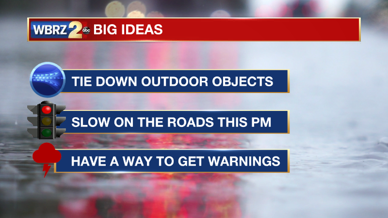
Reminder: With the threat for impactful weather— severe thunderstorms—please have access to alerts through Saturday. You can download or activate the WBRZ WX App on your Apple or Android device or turn on a NOAA Weather Radio for bulletins such as watches and urgent warnings. Of course, WBRZ, WBRZ+ and the Cable Weather Channel will have updates as active weather dictates.
Up Next: After the front passes through on Wednesday evening, cooler air will rush in. Temperatures on Thursday morning will be in the 50s. Leave the lawn furniture secured through Thursday. The WBRZ Weather Team is anticipating a Wind Advisory for Thursday. The winds will be sustained from 15-20mph and gusts will be 30-35mph through the afternoon. Besides the winds, it will be rather calm. Temperatures will be cool, especially for areas further north. Afternoon highs will struggle to reach 70 degrees on Thursday and Friday with overnight temperatures dropping into the low 50s and upper 40s. Click here to see the 7-day forecast.
More News
