

Latest Weather Blog
Sunday Evening Video Forecast
Related Story
Go ahead and tuck jackets back into the closet for now, but be sure to keep an umbrella by the door. A warmer and muggier pattern is taking over again, but this time bringing near-daily shower and thunderstorm chances that will persist all the way through Easter Sunday.
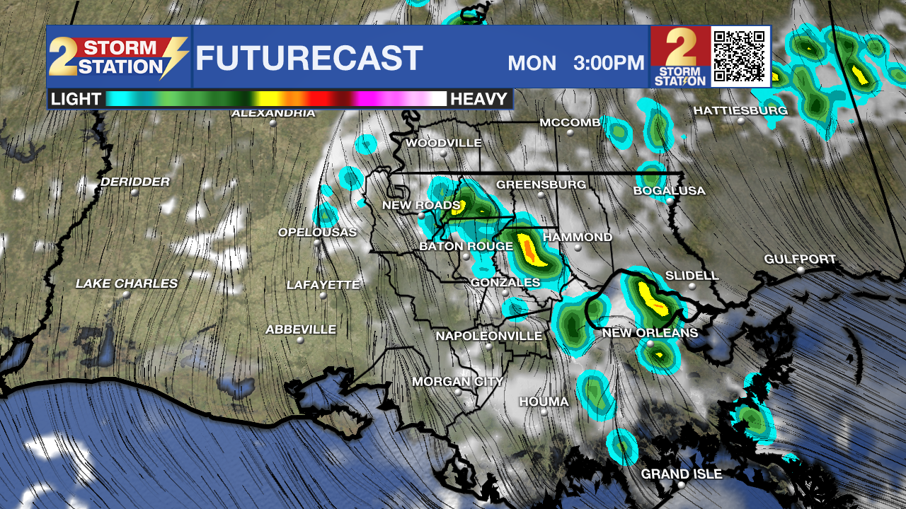
Tonight & Tomorrow: While spotty showers may linger after dark, they will gradually taper throughout the evening hours. There might even be a brief window of clearing, but clouds will eventually thicken back up overnight. Most will wake up to gray skies on Monday, with a mild morning low in the mid-60s. It will feel muggy, and a stray “nuisance” shower cannot be ruled out for the morning drive.
The majority of the shower activity will come later in the day. Driven by daytime warming, isolated showers and thunderstorms will fire as early as midday, with coverage peaking during the afternoon. About 40% of the Capital Region will see a brief downpour, so it won’t be a total washout. Look for a high in the low to mid-80s, though rain-cooled air might take temperatures down a few degrees by late afternoon. Rain will fizzle out quickly after sunset. Especially with the recent dry streak, keep in mind that the first few raindrops will mix with dust and oil that have built up on the pavement. This could create a slicker film on roads, almost like a thin layer of soap, that can make conditions extra slippery during that initial downpour. Give extra braking room when encountering rain.
Up Next: The rest of the week will be muggy and warmer than usual, so stash the jackets for now. Afternoons will find the 80s after starting off in the mid-to-upper 60s. Near-daily showers and thunderstorms will provide brief, cooling relief from the warmth. Some days will end up wetter than others, but no single day looks like a washout. Fortunately, there aren’t any major severe weather or widespread flash flood concerns. That said, particularly heavy storms could lead to localized street and poor drainage flooding in select locations.

Easter Weekend: The same warm and stormy pattern will persist through much of Easter Weekend; however, there will be a cold front in play as Easter itself approaches. The timing of this front will be important. A faster push through the area means a drier, cooler setup for those backyard egg hunts. If the front drags its feet, storms may hold on for a bit longer. It’s a tricky forecast, so stay in touch with the Storm Station if planning a crawfish boil, a cookout, or outdoor time with family!

Get the latest 7-day forecast and real-time weather updates HERE.
Watch live news HERE.
— Meteorologist Malcolm Byron
The Storm Station is here for you, on every platform. Your weather updates can be found on News 2, wbrz.com, and the WBRZ WX App on your Apple or Android device. Follow WBRZ Weather on Facebook and X for even more weather updates while you are on the go.
News
