

Latest Weather Blog
Rain coverage low until the weekend
Little change in our weather is expected through the workweek. However, if you have plans for the upcoming weekend, radar watching could be part of them.
Next 24 Hours: A few clouds will hang out into the evening hours before diminishing late. A patch or two of fog could develop around dawn. Low temperatures will bottom in the upper 60s for most but some coastal sections could hold the 70s. Wednesday looks to be steady as she goes with partly sunny skies and a stray, afternoon shower or thunderstorms. High temperatures are pegged for the upper 80s.
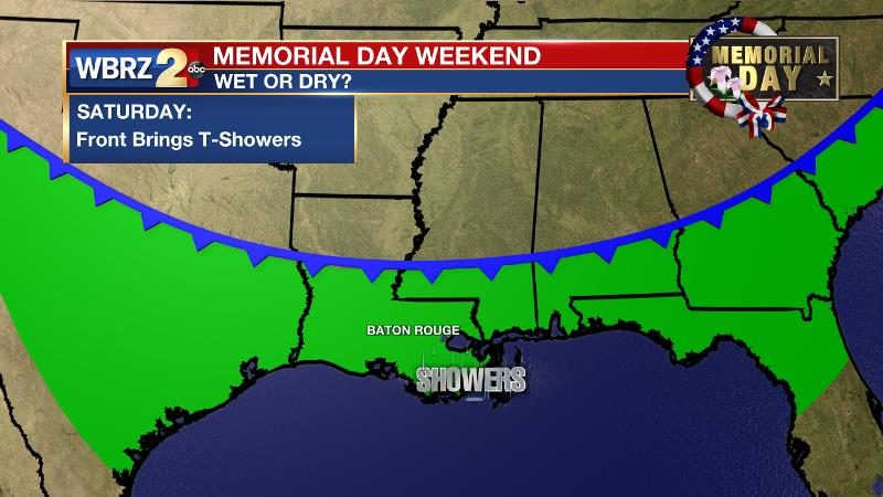
Up Next: Thursday and Friday are expected to be mainly dry and seasonably warm with lows in the upper 60s and highs in the upper 80s. Heading into the Memorial Day Weekend, some uncertainty arises. There is confidence that a cold front will move into the region on Saturday with scattered showers and thunderstorms. Especially late in the day, this could affect some outdoor plans. It is not yet clear what will happen to the front next. If it stalls over south Louisiana, isolated to scattered showers and thunderstorms will stay in the forecast for Sunday and Monday. If it escapes south into the Gulf of Mexico, drier and less humid weather will occur. CLICK HERE for your full 7-Day Forecast.
The Tropics: There are currently no areas of interest in the Gulf of Mexico, Caribbean Sea or Atlantic Ocean. No tropical development is expected over the next five days. Be sure to visit the WBRZ Hurricane Center as we prepare for 183 Days of Hurricane Season.
Trending News
The Explanation: A ridge of high pressure will continue to be broken down by a weak upper level trough approaching from the west on Wednesday. Additionally, precipitable water, or available moisture in the atmosphere, will increase to above average levels. The retreat of the ridge and added moisture will result in enough instability aloft for daytime warming to instigate some very isolated shower activity, mainly west of I-55. The upper level trough will pass northeast of the region to end the week and rain chances should slip back toward zero. A stronger upper level trough may make a little better southeastward progress across the country on Saturday and Sunday unlidding the atmosphere for more isolated or even scattered showers and thunderstorms—especially if the trough can drive a front into the area. It is too far out to tell if that front will sneak into the Gulf, which is increasingly less likely this time of year. If it can, we could get one of our final reductions in humidity before the summer sweats set in. If the front remains stubborn across inland areas, the weekend may have higher rain coverage than we would like.
--Josh
The WBRZ Weather Team is here for you, on every platform. Your weather updates can be found on News 2, wbrz.com, and the WBRZ WX App on your Apple or Android device. Follow WBRZ Weather on Facebook and Twitter for even more weather updates while you are on the go.
More News
