

Latest Weather Blog
Monday PM Forecast: near freezing tonight
The week ahead will be seasonably cool. Another cold front is in store for the weekend.
Next 24 Hours: Conditions will be set up favorably for temperatures to take a big tumble overnight. Clear skies, dry air and light winds will send lows into the low 30s. Though we are forecasting 33 degrees in the city, any areas along and north of I-10 should prepare for a freeze out of an abundance of caution. After a chilly start, high temperatures will head for the upper 50s on Tuesday. There will be plenty of sun but some high clouds could push in late in the day.
Up Next: Wednesday morning, a passing patch of clouds will keep low temperatures warmer than Tuesday morning and in the upper 30s. Clouds should depart for afternoon sunshine and another day in the upper 50s. With mainly clear skies and winds shifting easterly, the end of the week will be seasonable. Temperatures will reach the mid 60s for highs and the upper 30s to low 40s for lows. The next cold front will come this weekend with a chance of showers on Saturday followed by drier conditions and chilly temperatures on Sunday. CLICK HERE for your detailed 7-Day Forecast.
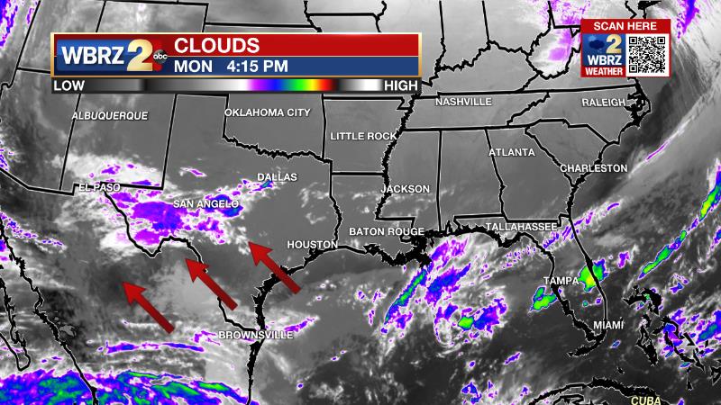
The Explanation: A surface high pressure system will remain situated northeast of the local area through Wednesday. Clear skies, low dew points and light northeasterly winds will set the stage for radiational cooling overnight and low temperatures will reach freezing along and north of the I-10/12 corridor. In the upper levels, a weak shortwave trough of low pressure will race out of the Southwest U.S. across the local area late Tuesday into Wednesday.
Trending News
Due to limited time for moisture to recharge the atmosphere, this system is unlikely to produce much more than increased cloud cover and a few sprinkles. The cloud deck though, will cause overnight lows to stay well above freezing into Wednesday morning. Thermometers will start to chug up later Wednesday through the end of the week as surface winds shift more easterly. Thursday and Friday will be closer to seasonal averages with highs in the 60s and lows in the 40s. Onshore flow will become established into the weekend in advance of the next upper level trough and cold front pegged to traverse the region. Enough moisture will have returned to the atmosphere for a couple of showers to form with the lift created by the cold front. However, upper level winds will remain unfavorable for well-organized thunderstorms and any severe weather. This frontal system will quickly exit the area and deep northwesterly wind flow will send much colder, drier air into the region. By Monday, yet another upper level trough and cold front will race through the region to reinforce the chilly temperatures through early next week.
--Josh
The WBRZ Weather Team is here for you, on every platform. Your weather updates can be found on News 2, wbrz.com, and the WBRZ WX App on your Apple or Android device. Follow WBRZ Weather on Facebook and Twitter for even more weather updates while you are on the go.
More News
