

Latest Weather Blog
Thursday Morning Forecast
Related Story
Intense heat sticking around the forecast into the weekend.
THE FORECAST
Today & Tonight: The entire WBRZ viewing area is under a HEAT ADVISORY from noon until 7pm this evening. A warm and humid start to your Thursday with morning lows in the low-80s. By the afternoon, temperature will climb near 100°, and this is exactly why we are now on day 9 of heat advisories for our area. Heat index values will be from 107-112° for several hours today. Be sure you are drinking lots of water and limiting your time outdoors. This summertime sizzler is not letting up just yet. Radar will stay quiet until the weekend.
Up Next: The heat continues on for the rest of the workweek. Friday will start warm and humid just like the rest. By the afternoon hours, daytime highs are expected to reach the upper-90s and feels like temperatures will be 10-15° warmer than the actual air temperature. A HEAT ADVISORY is likely to be re-issued for Friday and possibly Saturday. On Saturday, a weak frontal boundary will move in. Timing of the showers are not set in stone yet, but as of now showers will begin to bubble up around 3pm and stick around until sunset. Temperatures will still stay steamy, but some showers will prevent temperatures from being extreme. Sunday temperatures will be seasonable in the low-90s due to scattered PM showers. Click here to see the 7-day forecast.
The Storm Station has you covered with hour-by-hour weather tracking is available for your location on the WBRZ WX App on your Apple or Android device. Follow WBRZ Weather on Facebook and Twitter for even more weather updates and unique weather insight from the whole team!
In the Tropics:
Tropical Storm Don is strengthening over the central Atlantic Ocean. Moving to the west at 7mph with maximum sustained winds of 50mph, Don will turn northwest by the weekend doing a little more strengthening along the way. By next week, the storm will weaken over the cooler waters.
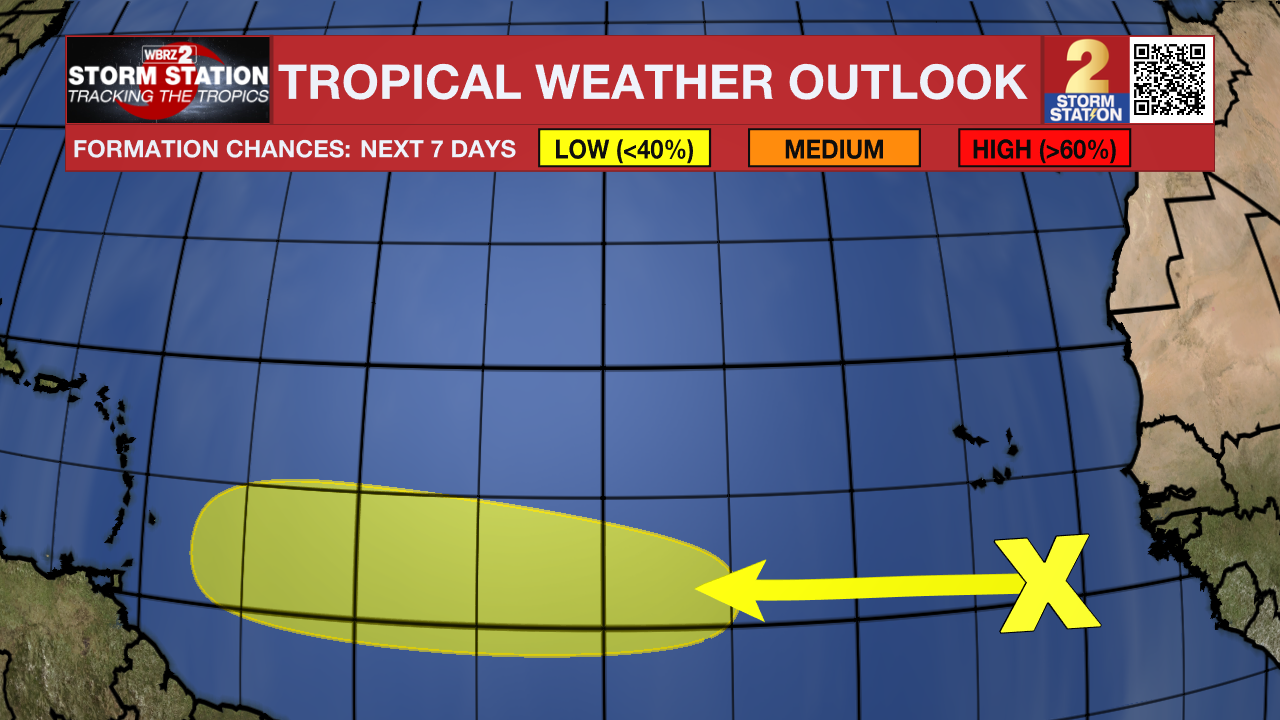
In the eastern Tropical Atlantic, cloudiness and showers continue a few hundred miles south of the Cabo Verde Islands in association with a tropical wave. While dry air should prevent significant organization during the next few days, environmental conditions could become more conducive for some development by the weekend while the wave moves westward at about 20 mph.
News
