

Latest Weather Blog
Heavy rain and flash flooding likely through Saturday night
As latest radar trends confirm, the #BatonRouge area is getting a needed lull in rainfall. Highest near-term risk for FLASH FLOODING will be Northshore Parishes into South Mississippi... new development remains possible overnight into Sunday though, so stay alert. #LaWX #MsWX pic.twitter.com/3xhBHFIaYT
— Josh Eachus (@DrJoshWX) May 11, 2019
One more round of very heavy rain is expected before the wet, unsettled pattern loosens its grip on the central Gulf Coast. Parts of southeast Louisiana have been placed under rare HIGH RISK for excessive rainfall through Sunday morning.
Thunderstorms continue to develop over areas that have seen very heavy rainfall over the last three days. There have been isolated amounts of up to 10 inches. For the HIGH RISK area, additional heavy rainfall will likely lead to FLASH FLOODING and persistence of heavy rain for a couple hours may lead to instances of severe, life-threatening flash flooding.
Trending News
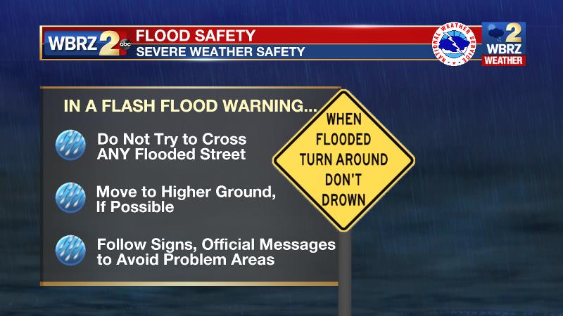
Avoid travel. If you must drive and encounter a water covered road, please turn around and find an alternate route. Even if the water does not appear to be moving, just a few inches can float most vehicles. You risk the expenses of stalling out a vehicle, needing rescued and therefore placing somebody else's life in danger as well. Especially at night, there is no telling how deep the water is or if the road is in tact below.
Within the HIGH RISK area, very high moisture and instability are allowing continuous thunderstorm development along a nearly stationary front draped across southwest Mississippi southwestward into Louisiana. Storm steering winds nearly parallel to the front will result in rain and thunderstorms repeatedly crossing over the same areas. This scenario will be supportive of hourly rainfall rates of 2-3 inches in the most well organized storm clusters. This general setup is expected to remain in place through midnight.
Rivers are already running high after the previous days rainfall and saturated ground will lead to runoff being quickly routed downstream. This gives significant concern for serious flooding problems near areas that receive the heaviest amounts. Here are the river levels and forecast crests as of 3pm Saturday:
|
RIVER SITE |
FLOOD STAGE |
CURRENT LEVEL |
FORECAST |
|
Amite River Near Denham Springs |
29.0’ |
31.1’ |
31.5’ SUN. |
|
Amite River Near Bayou Manchac |
9.0’ |
8.1’ |
11.0’ MON. |
|
Amite River Near Port Vincent |
8.0’ |
5.6’ |
9.0’ MON. |
|
Comite River Near Joor Road |
20.0’ |
20.8’ |
23.5’ SUN. |
|
Tickfaw River Near Liverpool |
9.0’ |
7.1’ |
9.0’ SUN. |
|
Tickfaw River Near Montpelier |
13.0’ |
12.4’ |
13’ MON. |
|
Tickfaw River Near Holden |
15.0’ |
13.5’ |
16.5’ MON. |
|
Tangipahoa River Near Osyka |
15.0’ |
11.7’ |
15.0’ SUN. |
|
Tangipahoa River Near Robert |
15.0’ |
17.8’ |
19.0’ MON. |
|
Atchafalaya River Near Morgan City |
6.0’ |
8.0’ |
8.2’ FRI. |
Drier conditions will slowly take hold as Sunday progresses, but any areas that experience significant flooding issues may have to deal with lingering issues. The new week will start on a much quieter note with some sunshine, high temperatures in the low 80s and slightly lower humidity.
Here are the latest updates from WBRZ Weather:
More News
