

Latest Weather Blog
Gradual drying, clearing as Beta remnants pull away from area
Due to the remnants of Beta, active weather is possible through Thursday morning. Several bulletins are in place
*FLASH FLOOD WATCH* through Thursday morning for East Baton Rouge, West Baton Rouge, Ascension, East Feliciana, Iberville, Livingston, Pointe Coupee, St. Helena, and West Feliciana Parishes as well as, Amite and Wilkinson Counties.
*COASTAL FLOOD WARNING* through Thursday morning for Livingston and Tangipahoa Parishes as nearshore areas could experience tides and water inundation 1 to 3 feet above average.
The Next 24 Hours: Scattered showers and thunderstorms are possible into Thursday morning. It will stay muggy with lows in the low 70s. Most of the showers will break away to the east by Thursday morning. Any lingering rain likely be north and east of Baton Rouge. Clouds will hang tight and therefore highs will be limited to the low 80s.
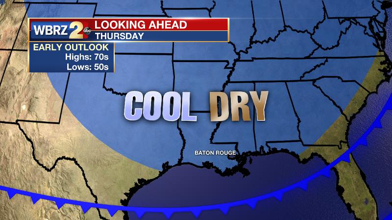
After That: Friday through Sunday will be partly sunny with just a stray shower or thunderstorm possible during the afternoons. Temperatures will be seasonable with highs in the mid to upper 80s and lows in the upper 60s. A cold front will push through the area on Monday to dry out and refresh the air mass, though it won’t change temperatures much. A more substantial push of cool air is expected with a second cold front during the middle of next week. Either could stir up an isolated shower.
Trending News
The Tropics: As of 4pm Wednesday, Post-Tropical Beta was producing maximum winds of 30mph near Lake Charles, La. Beta will continue to move northeast through central Louisiana and Mississippi through Thursday withy areas of heavy rain and isolated strong thunderstorms.
Post-Tropical Teddy was moving over Newfoundland with maximum winds of 50mph. The storm will be absorbed by another area of low pressure in Labrador Sea on Thursday but still produce dangerous surf in Newfoundland.
With both of these systems now post-tropical, for the first time since September 7, there are no active systems in the Atlantic Basin and no new development is expected over the next 5 days.
The Explanation: On Thursday, the old low pressure center will pass north of the local area. A trough axis will pass through the area with a final push of showers and thunderstorms but that activity should move east by late morning. Wrap around cloud cover will persist for much of the day. Friday and into the weekend, the weather will trend toward normal for late September. A weak upper level trough in the wake of Beta will remain centered over the region allowing some clouds to mix into skies. However, the exit of a tropical air mass should leave conditions too dry for anything but a stray shower. A longwave trough dipping into the southeast U.S. will absorb this trough by Monday and drive a cold front through the area. This will bring lower dew points (lower humidity) and near average temperatures for early next week. Forecast models are bullish on a strong autumn front moving into the region by the middle of next week. That may result in our first readings in the 50s of the season! Either front could produce a shower but nothing substantial.
--Josh
The WBRZ Weather Team is here for you, on every platform. Your weather updates can be found on News 2, wbrz.com, and the WBRZ WX App on your Apple or Android device. Follow WBRZ Weather on Facebook and Twitter for even more weather updates while you are on the go.
More News
