

Latest Weather Blog
Friday PM Forecast: clouds and wind diminish for a weekend treat
Clouds and wind kept a nip in the air on Friday. Halloween weekend will remain cool but with lighter breezes and much more sun.
Next 24 Hours: Quite the fall-like night is ahead with continued cloudy and breezy conditions. Winds will stay out of the northwest at 5-10mph. Skies will start to clear up a bit after midnight and this will help low temperatures dip into the upper 40s. The breeze should lighten up on Saturday and with much more sunshine available, high temperatures will chug into the upper 60s. Both Southern University football and any early trick-or-treat events will enjoy clear skies and temperatures falling through the 60s.
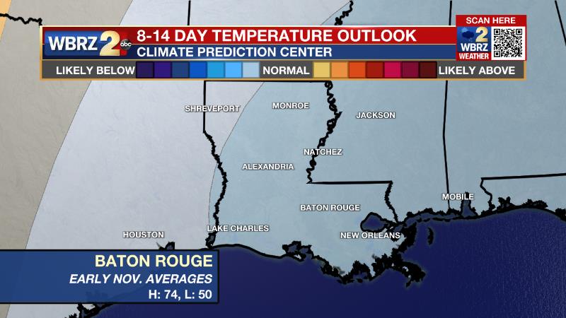
Up Next: Seasonable and pleasant conditions are in store through Halloween and right into early next week. Sunday through Wednesday will stay dry with highs moderating into the mid 70s and lows in the mid 50s. A weak cold front will try to return showers to the area by Thursday. At this time, that system does not appear to pose a threat for heavy rain or severe weather. Even cooler air than our latest punch could follow that front into next weekend. CLICK HERE for your full 7-Day Forecast.
The Tropics: A non-tropical low pressure system southeast of Nova Scotia has a 30 percent chance of development as it drifts southeast over the central Atlantic over the weekend or early next week. As we end October, it is increasingly rare for tropical systems to strike Louisiana. In fact, with records dating back to the 1860s, only four storms have made landfall past October 20. For the latest tropical forecasts, advisories and information, visit the WBRZ Hurricane Center as we navigate all 183 Days of Hurricane Season.
Trending News
The Explanation: Post frontal cooling will continue overnight as winds turn more due north while an upper level low pressure system lifts out of the Mid-Mississippi River Valley. As that happens, the persistent cloud deck wrapping around it will clear from west to east by Saturday morning. Through the weekend, the upper low will continue to move east and sunshine to stick around as winds slacken. Expect a slow warming trend to begin on Sunday with high temperatures rebounding back up into the middle 70s through mid-week. A weak but broad surface high pressure system will anchor over the region through Tuesday keeping mainly clear skies in place. The next upper level trough of low pressure will swing down through region by Thursday with a weak cold front that is likely to be starved of the favorable ingredients for stormy weather. Therefore, just some clouds and showers are anticipated at this time.
--Josh
The WBRZ Weather Team is here for you, on every platform. Your weather updates can be found on News 2, wbrz.com, and the WBRZ WX App on your Apple or Android device. Follow WBRZ Weather on Facebook and Twitter for even more weather updates while you are on the go.
More News
