

Latest Weather Blog
Friday morning video forecast
Related Story
A broad area of high pressure will dominate the region through Saturday. High pressure usually means sunny skies, but also clear skies overnight. As a result, warmth from the day easily escapes into the atmosphere at night. These conditions will lead to some frosty morning in the Capital Area.
THE FORECAST:
Today and Tonight: Full sunshine is expected for your Friday. North winds of 5-10mph will keep warming in check, but in the absence of clouds, highs are expected to top out in the mid to upper 50s. Overnight, clear skies and light, north winds will allow lows into the low to mid 30s. Frost is possible along and south of I-10 with a light freeze possible north of I-10. Take precautions with sensitive plants.
Up Next: Weather will not be an excuse to skip the voting booth! Sunshine will quickly warm thermometers on Saturday. Ample sunshine is expected through the day with highs near 60. Overnight will again be chilly with lows in the mid 30s.
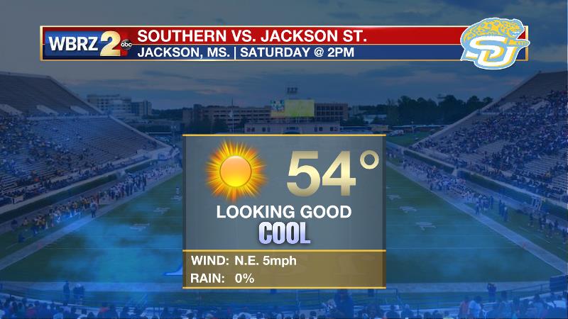
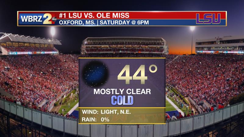
Both Southern and LSU football will compete under clear skies in Mississippi on Saturday. For the Jags, an afternoon kickoff will mean slightly warmer temperatures around 54 degrees. For the Tigers, the 6pm start will mean start time temperatures in the mid 40s fall into the upper 30s by the end of the game.
A weak disturbance will cross the area on Sunday evening so morning sunshine could give way to some passing clouds late, but no rain is expected. Dry conditions with slowly moderating temperatures are expected through the middle of next week.
The Tropics: For the North Atlantic, Caribbean Sea and the Gulf of Mexico, tropical cyclone formation is not expected during the next 5 days. This is the final official month of hurricane season.
THE EXPLANATION:
A northerly wind flow will maintain below average temperatures through the weekend. As wind speeds slacken Friday night, and with clear skies, conditions should be ideal for radiational cooling and thermometers are expected to dip close to freezing. Especially in traditional cool spots north of I-12, a light freeze is possible. Sunshine will quickly push temperatures through the 40s and 50s from Saturday morning into afternoon. By Saturday night and Sunday, an upper level disturbance will be rolling out of the Midwest toward the Southeast. With no moisture return in the local area due to ongoing northeast winds, this disturbance will pass by dry with just some cloud cover. If the clouds move in quickly and are thicker in coverage, high temperatures could be lower than currently forecast. Beyond this system, quiet weather will dominate early next week. By Wednesday, a weak mid-level ridge will build over the area allowing for some temperature moderation. Numbers could get back to average at that time. This ridge will also allow some onshore flow from the Gulf, priming the atmosphere with enough moisture for rain chances to be in the forecast with our next front. As of now, that would be sometime toward the end of next week or early next weekend.
--Josh
The WBRZ Weather Team is here for you, on every platform. Your weather updates can be found on News 2, wbrz.com, and the WBRZ WX App. on Apple and Android devices. Follow WBRZ Weather on Facebook and Twitter for even more weather updates while you are on the go.
News
