

Latest Weather Blog
A subtle weather pattern switch is on the way
There are signs that the persistent pattern will start to let up over the coming days. In August though, the consequence of fewer showers and thunderstorms is usually more heat.
THE FORECAST:
Today and Tonight: An uncomfortable morning will turn into a warm and humid afternoon. High temperatures will top out around 94 degrees. Partly sunny skies will give way to a few showers and thunderstorms between 1 – 8pm. Any storm will be capable of quick downpours, frequent lightning and possibly some gusty wind. Showers will die out during the evening followed by partly cloudy skies and low temperatures near 76 degrees.
Up Next: The upper level trough, responsible for more than a week of below average high temperatures and an active pattern of showers and thunderstorms, will start to move east. By Friday, an upper level ridge is expected to nudge eastward which will stabilize and dry out the atmosphere. The result will be not as many showers and slightly warmer high temperatures. Humidity will be seasonably high which will result in several hours each afternoon with feels-like temperatures in the low 100s. The National Weather Service has the area on standby for some heat advisories.
Trending News
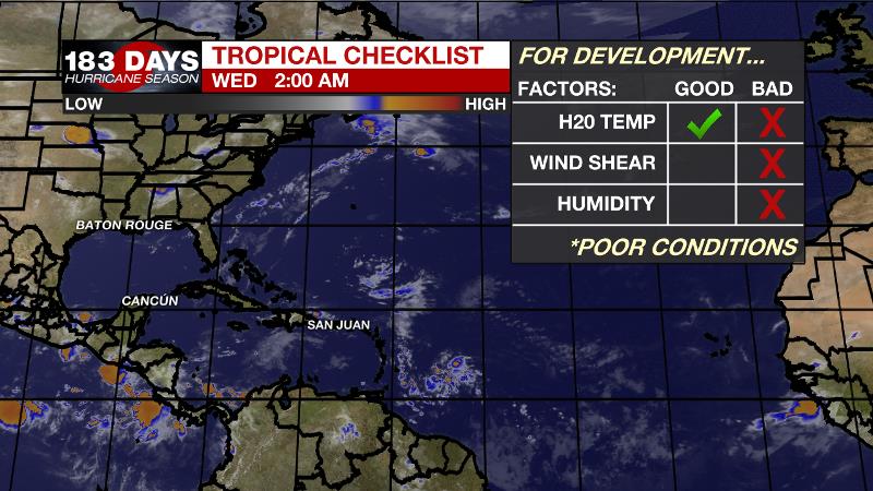
The Tropics: The Gulf of Mexico, Caribbean Sea and Atlantic Ocean are quiet at this time. No tropical development is expected over the next 5 days. CLICK HERE for a detailed breakdown of the Atlantic Basin.
THE EXPLANATION:
The stubborn upper level ridge of high pressure that has been parked over the Desert Southwest is beginning to dislodge. As this ridge moves eastward, the local area will undergo some noticeable changes. First, high temperatures will climb a few degrees. Several days in the mid 90s are anticipated late week through the weekend as the ridge centers over Texas and Louisiana. High dew points will result in heat indices exceeding 100 degrees for several hours each day and uncomfortable nights, barely exiting the 80s. Second, the subsiding air beneath the ridge will cut into the number of showers and thunderstorms that are able to develop. Consequently, the sinking air and pockets of drier air aloft mean that any storms that can develop will be capable of gusty wind. So, fewer, but stronger storms will be in the forecast. Of course, per the nature of warm season storms, downpours and frequent lightning remain possible too.
--Josh
The WBRZ Weather Team is here for you, on every platform. Your weather updates can be found on News 2, wbrz.com, and the WBRZ WX App. on Apple and Android devices. Follow WBRZ Weather on Facebook and Twitter for even more weather updates while you are on the go.
More News
