

Latest Weather Blog
Tuesday evening video forecast
Related Story
Chilly temperatures will lead weather headlines through the weekend. There will be a slight chance of a shower or two on Saturday due to a weak storm system passing through the region.
Next 24 Hours: Low clouds may be stubborn to break overnight. With north winds of 10-15mph keeping the lower atmosphere mixed with the surface air, low temperatures will not achieve their maximum cooling potential tonight and will stop near 40 degrees. On the other hand, those winds will create a chill, or feels-like temperature in the low to mid 30s.
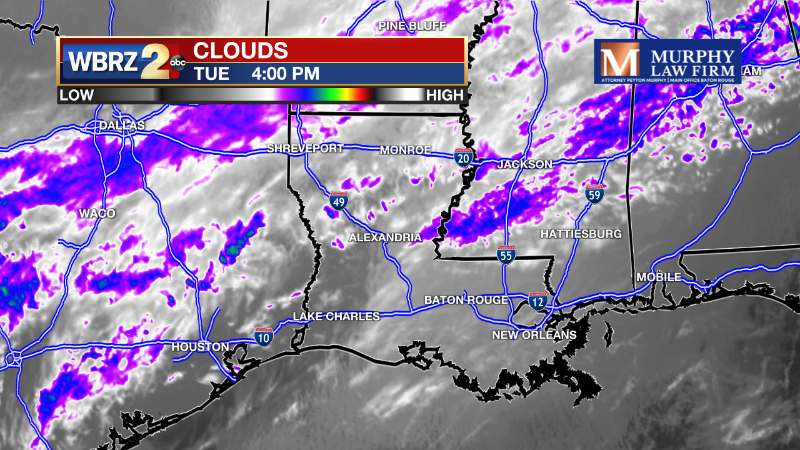
Wednesday, the clouds will still be hanging around. North breezes of 5-10mph and the lack of sunlight will keep high temperatures from rising much more than 54 degrees.
Up Next: Thursday and Friday, expect partly sunny afternoons with highs in the mid 50s. Nights will be chilly with lows in the 30s. Thursday night into Friday, much clearer skies and light winds might even allow thermometers to approach freezing. The city has not yet reached freezing, so some alerts may be issued by the National Weather Service. A weak storm system will pass out area to the south on Saturday but could fling a stray shower as far north as I-10. A reinforcing front and north winds behind it will mean that highs back into the 60s are not expected until at least early next week. CLICK HERE for your detailed 7-Day Forecast.
The Tropics: For the North Atlantic, Caribbean Sea and Gulf of Mexico, all is quiet. No tropical development is expected over the next five days.
The Explanation: While a broad upper level trough remains in control of the Eastern U.S. keeping lower than average heights and cooler temperatures in the atmosphere, a surface high pressure system will drop into the Midwest and associated north winds will keep blowing in cool air at the surface. Low clouds will erode on Wednesday and the next two nights will be the coldest thanks to the additional clearing and lighter winds. Thermometers may approach freezing on Friday morning. A weak disturbance will spin through the parent upper level trough on Saturday with a reinforcing cold front moving through. Unlike the last system, this one will be largely moisture staved and struggle to produce showers inland. A shower will be mentioned as far north as I-10 in the forecast for now, but that may need to be trimmed back as we get closer. The passage of that front will be followed by another surface high and north winds to maintain the chill. Temperatures will be 15 to 20 degrees cooler than average through the upcoming weekend.
--Josh
The Storm Station is here for you, on every platform. Your weather updates can be found on News 2, wbrz.com, and the WBRZ WX App on your Apple or Android device. Follow WBRZ Weather on Facebook and Twitter for even more weather updates while you are on the go.
News
