

Latest Weather Blog
Sunday Evening Video Forecast
Related Story
The warmup continues beyond Easter Sunday. Look for highs in the 80s through Tuesday ahead of our next cold front. That front will deliver a new pattern for the rest of the week.
Tonight & Tomorrow: Easter Sunday will close out on a mostly cloudy note. We'll keep clouds through the overnight hours, though we should remain dry. Temperatures will be very mild early Monday, bottoming out in the upper-60s. We continue the warming trend into Monday. Despite a mostly cloudy sky, highs soar into the mid-80s. We will come within a few degrees of the record high of 88°. A south breeze at 10-20 mph will continue to push Gulf moisture inland. We will notice some humidity as a result.
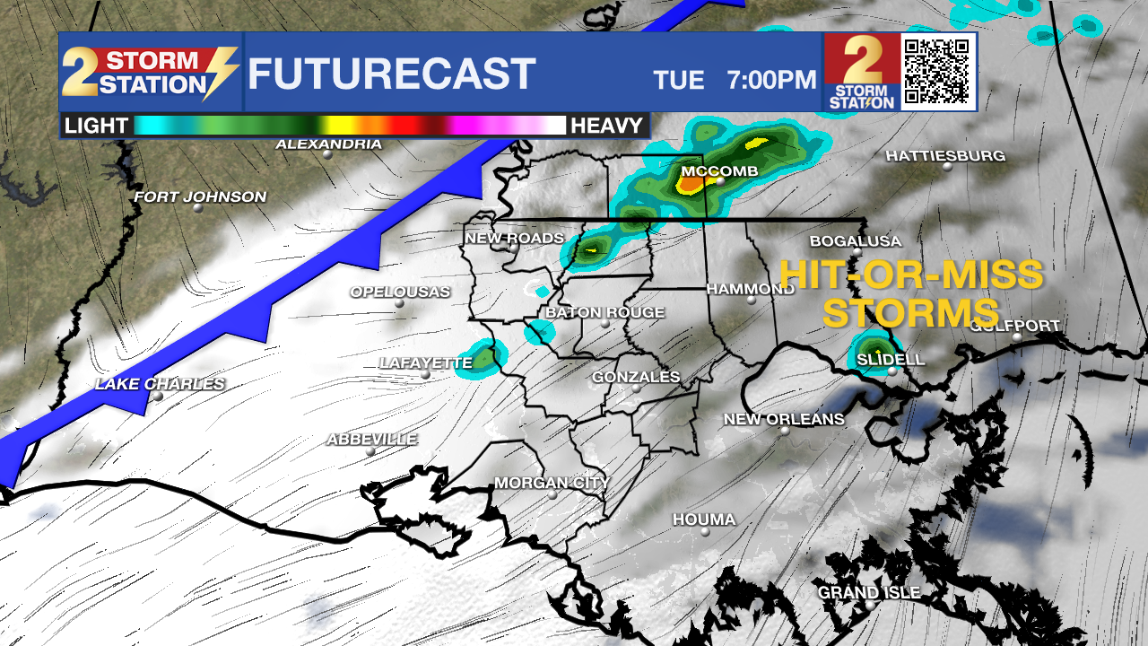
Up Next: Mostly cloudy skies hang around on Tuesday, and we'll make another run for the middle-80s. We will come close to the record high of 87°. This occurs ahead of a cold front which is set to arrive sometime during the evening. With it, spotty showers and storms will be possible. Areas north of I-10/12 have the best shot at seeing one of these stray showers. This will not be a significant rainmaker. Not only will some avoid the activity entirely, those that see rain won't get much out of it.
A new pattern arrives behind the cold front. We'll see sunnier days through the rest of the week, along with lower humidity and cooler temperatures.
Get the latest 7-day forecast and real time weather updates HERE.
Watch live news HERE.
-- Meteorologist Malcolm Byron
The Storm Station is here for you, on every platform. Your weather updates can be found on News 2, wbrz.com, and the WBRZ WX App on your Apple or Android device. Follow WBRZ Weather on Facebook and Twitter for even more weather updates while you are on the go.
News
