

Latest Weather Blog
Thursday AM Forecast: Storms during Friday morning commute, Hard freeze possible next week
Storms and showers will arrive to the Capital Area during Friday morning's commute. With the system, winds ramp up during the day ahead of a calm weekend. On Monday, we will watch frigid air seep into the state, allowing for a potential hard freeze Monday night.
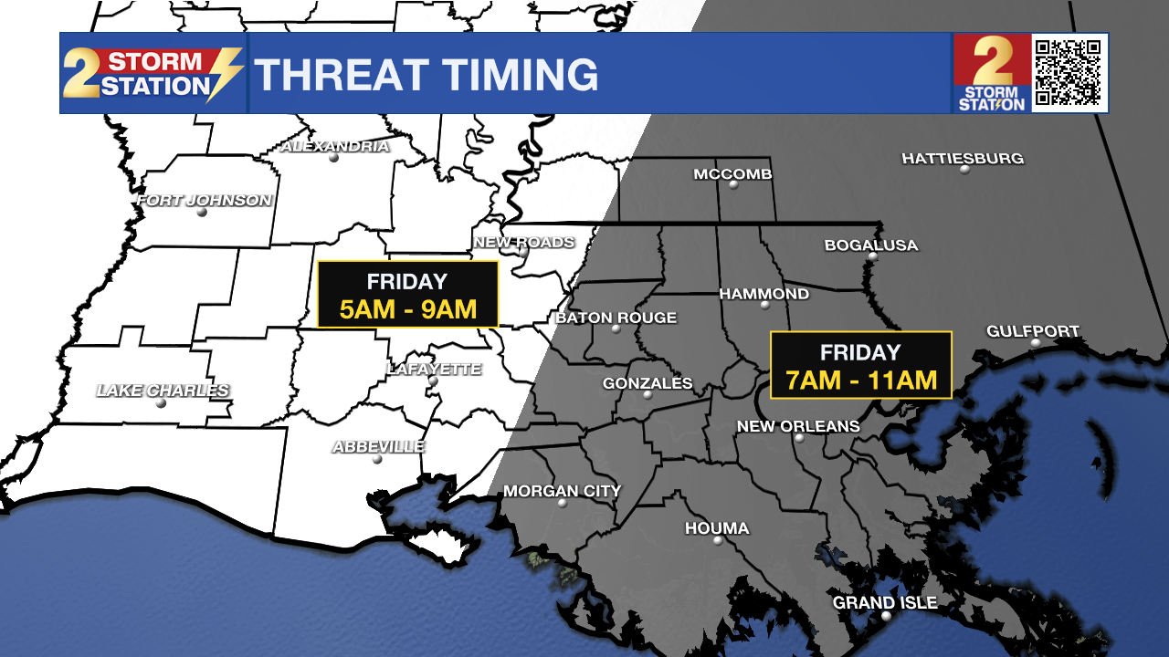
Today & Tonight: We will see a mix of sun and clouds throughout the day on Thursday with temperatures hanging out above average all day. Morning lows around the state in the mid to upper 40s and afternoon temperatures about 10° above average, near 72° in the Capital area. While we can't rule out a spotty shower during the daytime hours, greater coverage of showers arrive with a warm front around midnight tonight. Overnight, rain coverage stays elevated until a cold front sweeps in early Friday. With the front, sustained winds between 20-30 mph with gusts higher and showers and storms will impact SE Louisiana during the morning commute.
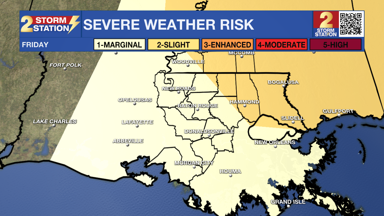
Some of the storms could become strong to severe. The main weather threats with this storms system are damaging winds and the possibility of a spin up tornado, with the greatest opportunity of severe weather development in our Mississippi counties and NE parishes, including Tangipahoa and St. Helena. This system will be quick moving and by noon should exit the state.
Trending News
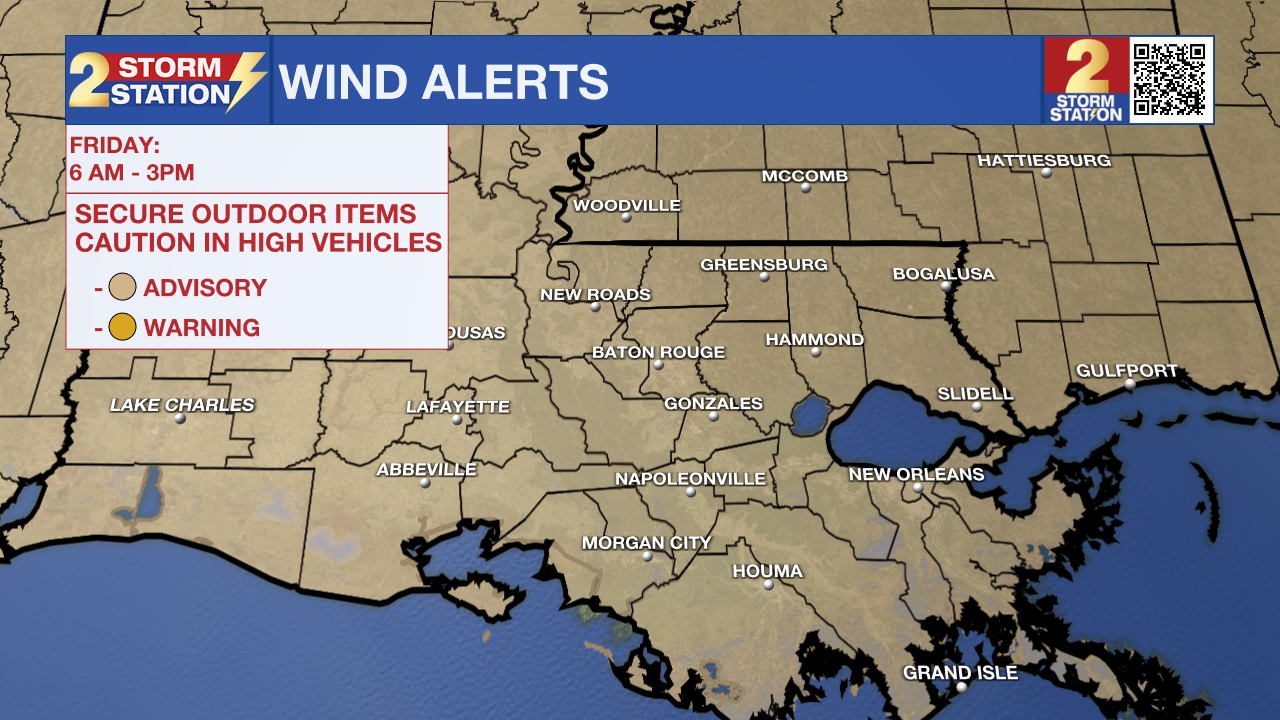
Regardless of storm strength, the entire state is under a WIND ADVISORY on Friday from 6am to 3pm as gusts could reach 40mph.
Up Next: With mainly clear skies, your weekend will feature morning lows near or below freezing and afternoon highs in the upper 50s. The quiet forecast this weekend makes for a great time to prepare for impactfully cold air that arrives to the state on Monday.
During the day on Monday an air mass that originated in the arctic takes over the country, moving as far south as Louisiana. That morning, we are also tracking a rain maker that is set to move across the Gulf Coast. Latest timing of these two events does not suggest that they will overlap and result in wintry precipitation. However, it is possible that some sleet briefly mixes in with rain before it ends on Monday. Additionally, wind and dry air following the rain should evaporate leftover moisture and puddles to minimize ice hazards.
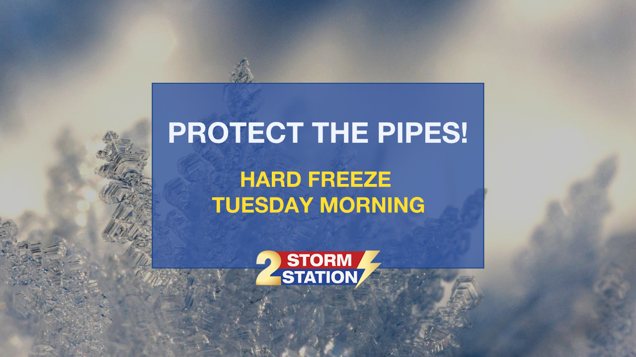
By Monday afternoon, the coldest air so far this season will take over the region. Especially on Tuesday, northerly winds of 10-20mph will cause wind chills in the teens and 20s. Tuesday and Wednesday morning will have several hours in the low to mid 20s. This frigid cold raises the concern for the first hard freeze in the Capital Area since December of 2022! Take precautions over the next few days to prepare for a hard freeze.
Get the latest 7-day forecast and real time weather updates HERE.
Watch live news HERE.
– Emma Kate Cowan
The Storm Station is here for you, on every platform. Your weather updates can be found on News 2, wbrz.com, and the WBRZ WX App on your Apple or Android device. Follow WBRZ Weather on Facebook and Twitter for even more weather updates while you are on the go.
More News
