

Latest Weather Blog
7.3 magnitude earthquake strikes coast of Indonesia
Indonesia's eastern coast was rocked by a 7.3-magnitude earthquake, Tuesday, according to the United States Geological Survey (USGS).
CNN reports that locals felt the tremor and responded by running into the streets and trying to get to higher ground.
The quake struck 69 miles north of Maumere, on Indonesia's Flores Island and USGS says it hit at a depth of 11 miles in the Flores Sea at 10:20 a.m. local time (9:20 p.m. CST).
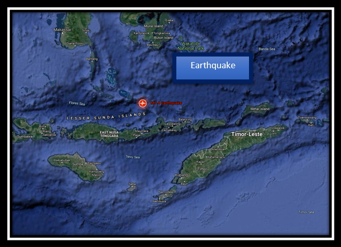
Initially, there was concern that hazardous tsunami waves were possible, but the head of Indonesia's Meteorological, Climatological, and Geophysical Agency (BMKG) Dwikorita Karnawati, later confirmed that the tsunami warning had ended.
She also said 15 aftershocks occurred so far, the strongest of which was 5.6 magnitude.
Trending News
Indonesia is part of the "Ring of Fire," a band around the Pacific Ocean where earthquakes and volcanic activity occur frequently. It stretches from Japan and Indonesia on one side of the Pacific across to California and South America on the other.
More News
