

Latest Weather Blog
Showers and hurricane season ending, big chill around the corner
The chance for rain will end by Thursday afternoon followed by a sunny and seasonable weekend. The long-range forecast is beginning to look quite interesting with the possibility of rain and much colder temperatures.
THE FORECAST:
Today and Tonight: Isolated showers and patchy fog will be possible early Thursday before a weakening cold front moves through the area. Expect slowed road conditions for the morning drive. The afternoon will still be mild with highs in the low to mid 70s. All told, very little measurable rain is expected. Cloud cover may be slow to depart, with some sun possible in areas north and west of Lake Maurepas by afternoon. Overnight winds will shift northwest and skies will continue to clear with low temperatures in the upper 40s and low 50s.
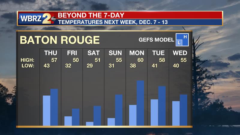
Up Next: Sunny and seasonable weather will return for Friday and the upcoming weekend with temperatures no more than 3-5 degrees above average. Though early for certainties, there is confidence that a strong cold front will move into the region by Tuesday with a much better chance of widespread, measurable rain followed by temperatures well below average for the middle of next week. Some forecast models give good possibility to the first freeze of the season in Baton Rouge. An extended stretch of chilly temperatures is then expected straight through next weekend.
Trending News
The Tropics: The 2017 Atlantic Hurricane Season ends. There were 17 named storms and 10 hurricanes with 6 reaching major category three strength or higher. All of these tallies exceeded the historical averages. CLICK HERE for more on over a dozen broken records, including the worst from Harvey, Irma and Maria.
More than a dozen records fell during the 2017 #hurricane season. Here is a look at re-written history and a recap of the season's worst: https://t.co/4Xf3ThkH6S pic.twitter.com/y6nOlizLoC
— Josh Eachus (@JoshEachus) November 29, 2017
THE EXPLANATION:
A lagging cold front will push through the region on Thursday ending any rain showers. Overall, rain coverage should not exceed 50 percent of the 13 Parish, 3 County forecast area by Thursday afternoon with minimal amounts. Surface high pressure will build in from the north on Thursday night through Saturday morning with dry air remaining in place. This will promote modest diurnal temperatures ranges with seasonably cool mornings in the upper 50s and afternoon highs slightly above average in the low 70s. A mid-level ridge will allow some moderation of temperatures by Sunday. The next big weather system will come in the form of a deep longwave trough digging into the Eastern U.S. on Monday and Tuesday. This regime shift will be led by a cold front. Given the amplitude of the approaching trough, moisture should pool sufficiently to produce more widespread, measurable rain across the forecast area. Specific timing on this is not yet clear but as this time, showers will be mentioned in the forecast from Monday afternoon to Wednesday morning. While beyond the scope of the 7-Day Forecast, models agree that the deep trough will result in well below average temperatures from the middle of next week into the second week of December.
--Josh
The WBRZ Weather Team is here for you, on every platform. Your weather updates can be found on News 2, wbrz.com, and the WBRZ WX App. on Apple and Android devices. Follow WBRZ Weather on Facebook and Twitter for even more weather updates while you are on the go.
More News
