

Latest Weather Blog
Wednesday morning video forecast
Related Story
Behind Tuesday’s cold front, temperatures will remain below average through the week. Your weekend weather forecast looks agreeable.
THE FORECAST:
Today and Tonight: On the cold side of a front, Wednesday temperatures will stay cool. The tricky part of the forecast is just where in the 50s will highs occur. If clouds are stubborn through the morning hours, thermometers will top out in the low to mid 50s. If sunshine returns early in the day, highs will make it into the upper 50s. Overnight will be mostly clear with lows in the upper 30s and low 40s.
Up Next: A weak disturbance will swing through the region Thursday afternoon through Friday evening with returning clouds and a few showers—especially south and east of Baton Rouge. Temperatures will stay cool with highs near 60 and lows in the mid 40s. By the weekend, a drier trend will emerge with thermometers climbing back above average. These conditions will persist until the next frontal system sweeps the area Monday into Tuesday. At this far out time, it appears that system needs to be monitored for the potential of severe weather.
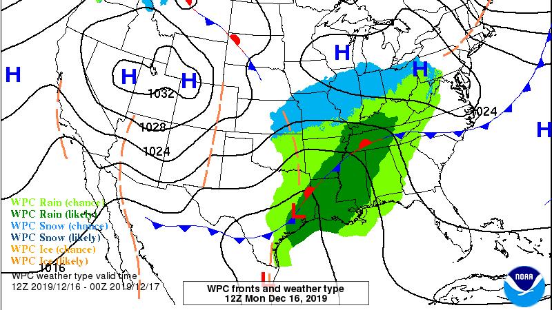
THE EXPLANATION:
A shortwave trough of low pressure is continuing to push a frontal system and associated rainfall southeast into the Gulf of Mexico. The challenging part of Wednesday’s forecast is with regard to sky condition. High resolution forecast models suggest cloud cover will be quick to break across the area, however, morning trends on satellite do not represent this idea. Of course, the longer clouds stick around, the cooler that high temperatures will be. Even if some sunshine is able to return on Wednesday afternoon, the next upper level disturbance will move into the Lower Midwest on Thursday, drawing moisture from the stalled front back to the north. These two features will combine to return rain showers to the area Thursday afternoon through Friday evening. The highest coverage in rain will occur south and east of Baton Rouge. After this system, thermometers will moderate to slightly above average over the weekend with dry conditions. The next storm system will sweep through the region Monday and Tuesday. While it is early, forecast model guidance points to a surface low pressure system moving from southeast Texas into the Mid-Mississippi River Valley and this track can be favorable for severe weather. We will need to monitor the parameters leading up to this event to hone in on that potential.
--Josh
The WBRZ Weather Team is here for you, on every platform. Your weather updates can be found on News 2, wbrz.com, and the WBRZ WX App. on Apple and Android devices. Follow WBRZ Weather on Facebook and Twitter for even more weather updates while you are on the go.
News
