

Latest Weather Blog
SEVERE WEATHER AWARENESS: Wind and Hail
The National Weather Service issues a SEVERE THUNDERSTORM WARNING when a storm is capable of producing, winds of 58mph or greater, hail up to one-inch in diameter or a tornado.
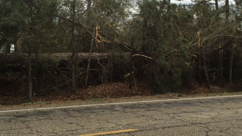
Straight-line winds produced by severe thunderstorms can produce as much or more damage than a weak tornado. In many cases, a straight-line wind event produces a much larger swath of damage when compared to the relatively narrow path of weaker tornadoes. Severe thunderstorm winds in excess of 58mph are capable of damaging roofs, chimneys, TV antennas and even uprooting trees.
Severe thunderstorm wind gusts are responsible for more than 50% of all severe weather reports in our area—and cause most of the total severe weather damages.
Trending News
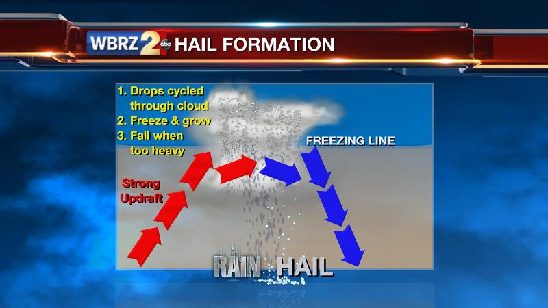
Hail can be deadly and costly. Falling out of the sky at speeds in excess of 100mph, sometimes as large as golf or tennis balls, hailstones can severely injure or kill a person, damage crops and cause thousands of dollars in property damage. Generally, hail remains below two-inches in diameter, but in extreme cases it has reached the size of a softball. Severe hail, one-inch or larger, is about the size of a quarter, with ping-pong or golf ball sized hail occurring regularly in stronger storms.
Out of data collected from 1950-2012, severe wind and hail occurred 9 times more often than tornadoes.
You shouldn’t take severe thunderstorm warnings any more lightly than tornado warnings—seek shelter if one is issued for your area.
Stay ahead of severe weather; stay in touch with our weather team on social media:
Facebook: WBRZ Weather
Twitter: @WBRZweather
Related Stories
More News
