

Latest Weather Blog
Quieter weather before bigger changes into the weekend
The most active weather of the workweek is behind. Conditions that are more seasonable will persist over the next two days before more precipitation and temperature changes occur Friday and Saturday.
THE FORECAST:
Today and Tonight: A cold front will continue to sag southward into the Gulf of Mexico on Wednesday but linger close enough to the area to maintain some clouds and spotty showers. A difference in humidity and temperatures will be noticed though as highs stop in the mid 70s. Overnight will be partly cloudy with lows near 60 degrees. Some upper 50s are certainly possible along and north of I-10.
Up Next: High pressure behind the front will provide quieter and cooler conditions through Thursday. A spike in warmth and humidity will occur Friday ahead of another, much stronger cold front set to move in from the north this weekend. Meanwhile, the old front will still be stalled in the northern Gulf of Mexico. In between the two, rain and thunderstorms will be possible—especially Friday night and early Saturday. Depending on timing, the unsettled weather could dampen some outdoor events slated for the first half of the weekend, including LSU’s homecoming. At this time, it appears as though the region will be clearing out in time for kickoff of the game against Mississippi State. Timing will become clearer as we get closer. Meanwhile, in Dallas, the Southern Jags will compete under partly sunny skies with thermometers near 70 degrees. By Sunday, the cold front will push everything south and much cooler and drier air is expected into early next week.
Trending News
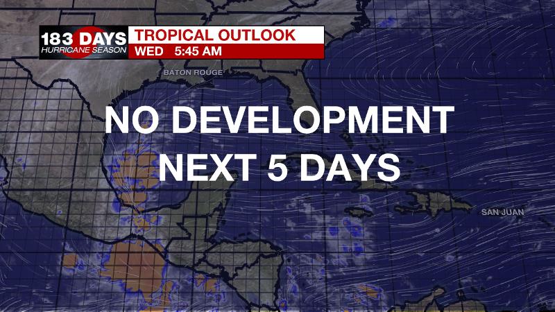
The Tropics: The Gulf of Mexico, Caribbean Sea and Atlantic Ocean are finally quiet. No tropical development is expected over the next 5 days.
THE EXPLANATION:
With the cold front settled southward into the Gulf of Mexico, the dew point temperature will continue to fall. Column moisture remains though thanks to a continued southwest flow aloft which will keep a lot of cloud cover and even spotty showers around through Wednesday. By Thursday, that southwesterly flow will subside as a weak ridge axis aligns with the forecast area. This will allow seasonable, comfortable conditions prior to the next storm system that will move into the area this weekend. A longwave trough will dig into the Southeast from the Great Lakes region on Saturday. This will send a cold front southward toward the Gulf of Mexico.
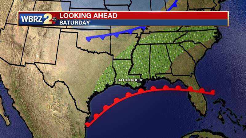
The former front will be stalled in the northern Gulf, perhaps even retreating northward as a warm front. Surface moisture advancing north with this feature may create some overrunning precipitation near the coast will the cold front will tap into this isentropic ascent to create more widespread precipitation further north and into the Mid-South. The GFS and GEM models are considerably faster, wetter and cooler than the ECMWF model, which has not handled the recent weather well so the forecast favors the previous two models at this time. The cold front will push through the region more quickly than its early week predecessor and cooler, drier conditions will be in store Saturday night into early next week.
--Dr. Josh
The WBRZ Weather Team is here for you, on every platform. Your weather updates can be found on News 2, wbrz.com, and the WBRZ WX App. on Apple and Android devices. Follow WBRZ Weather on Facebook and Twitter for even more weather updates while you are on the go.
More News
