

Latest Weather Blog
PHOTOS: flooding Mississippi River reaches crest
Aerial photos of the Baton Rouge area are coming into the WBRZ Weather Team as the Mississippi River is cresting. While the river is leveling off at many regional gauges, it will not recede very quickly.
Water can be seen inundating river plain north and west of Baton Rouge. Meanwhile, levees are holding water back as Meteorologist Josh Eachus pointed out on Twitter with brief captions on the overhead look.
AERIAL PHOTOS: Mississippi River at #BatonRouge floods over land within levees: https://t.co/GYEhYkd05u pic.twitter.com/azqsyMGLHD
— Josh Eachus (@Josh_Eachus) January 19, 2016
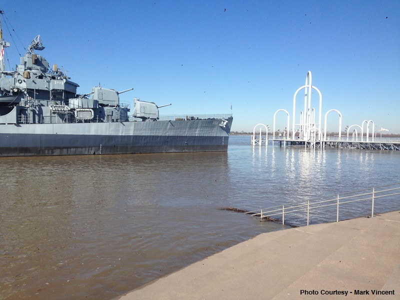
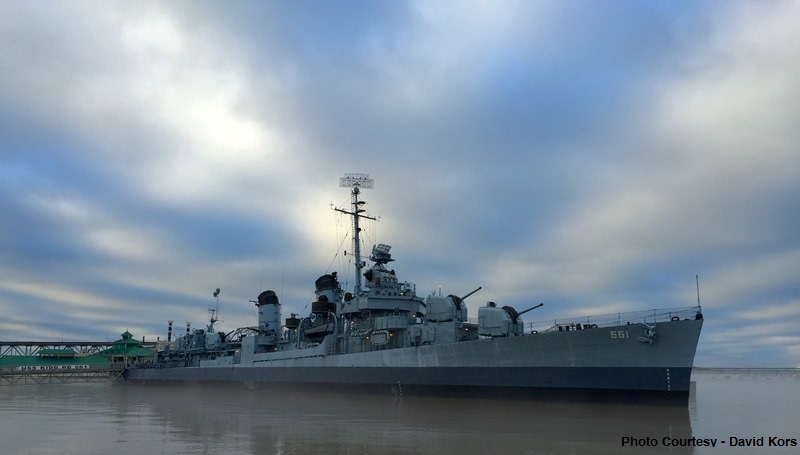
Closer shots show scenic sites in Baton Rouge to be under water as well. Steps along the levee, popular for Fourth of July spectators, are barely visible. The USS Kidd floats 15 to 20 feet higher than usual with the water level peaking.
The Plaquemine Ferry is closed until the water levels ease back. A higher access ramp was built early in the month, maintaining service through January 17.
Trending News
Other pictures from News 2 viewers show that some areas are dealing with even bigger problems. Camps in Morganza at Old Miss Hunting Club are submerged.
Ted Plauche's camp at the Old Miss Hunting Club in Morganza -- river cresting NOW pic.twitter.com/hTvzxXV2kR
— Josh Eachus (@Josh_Eachus) January 18, 2016
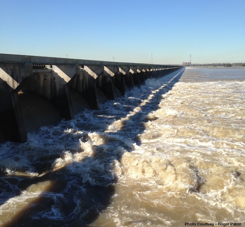
In Baton Rouge, Red River Landing, Donaldsonville and Reserve, the current levels are expected to persist into the weekend. In New Orleans, flood problems were mitigated earlier in January. The U.S. Army Corps of Engineers opened the Bonnet Carre Spillway diverting river water into Lake Pontchartrain to lessen the flow downstream.
For the latest stages, be sure to check in with the WBRZ Weather Team on-air, on Facebook and on Twitter. Plus, share your Mississippi River or Atchafalaya River flood pictures with us by tweeting @2StormView or emailing weather@wbrz.com.
More News
