

Latest Weather Blog
Make outdoor reservations, a weekend will finally be dry
Showers and a cold front will exit the region leaving behind cooler, drier weather for the weekend.
THE FORECAST:
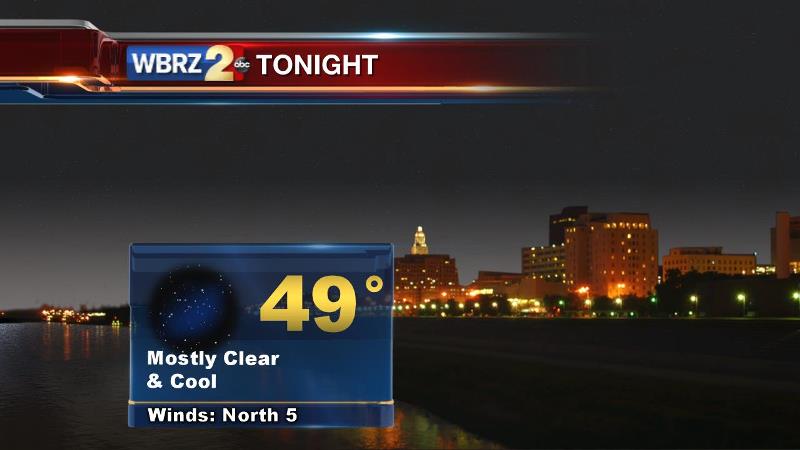
Today and Tonight: Showers will wrap-up by mid-morning Thursday. However, clouds may linger into the afternoon as cooler air begins pushing into the region. Highs will struggle to reach 70. Overnight, if clouds linger, that may prevent the bottom from falling out on temperatures. Any clearing will easily allow a low in the mid to upper 40s.
Looking Ahead: Friday through Sunday will bring sunshine and high clouds. Temperatures will be cool with highs in the mid 60s and lows in the mid 40s. Have a jacket on hand for Friday Evening football games and consider some exchangeable layers for weekend tailgates and college games. While sun could make the afternoons feel mild, temperatures will tumble quickly after dusk.
Trending News
THE SCIENCE:
Forecast Discussion: As a weakening cold front is forced eastward by a surface high pressure, showers will quickly taper on Thursday Morning. Forecast models are quick to clear cloud cover from the area as well, but saturated air trapped beneath a continued warm layer aloft could make it a little more difficult to get that rapid clearing. On Friday and Saturday, a 1030mb surface high will be just north of the area. The resulting drier and diverging air will result in mostly clear skies. It is worth noting that some high resolution models blow some high clouds through the region. This could have some minor implications on temperatures via filtered sun. Continued 5-10mph northeasterly winds will make for a couple of crisp fall days. Highs and lows will run about 5° below average as these conditions persist. Expect highs in the mid 60s and lows in the mid 40s. That high pressure will translate to North Carolina on Sunday as return flow begins and the next vigorous trough digs into the Western United States. Let the fun begin from there.
The GFS and ECMWF have both fired off a couple of warning flares that we should monitor next week. The forecast models show a significant shortwave slicing through the southern third of the United States. Ahead of it, at the surface, a deep low pressure system and attendant cold front will develop. In the upper levels, a strong jet stream will provide the dynamics needed to support thunderstorms—with diffluent and possibly divergent flow. Surface instability looks moderate for the fall season, but as we learned on Halloween, instability alone does not a severe weather event make. Therefore, plenty of the ingredients are expected to be supportive of severe weather. In addition to that, both models are not shy with regard to QPF. High moisture content translates into a large swath of 3-6” rain totals. Certainly, convective cells and any training could result in more. While this is almost a full week away, there are many signs with good model agreement, that this will be a storm system with high impact weather potential. Stay tuned!
For a detailed analysis of the storm threat next week, check in with Meteorologist Josh Eachus on Facebook. By 8am every weekday, find a video briefing that covers the next 7 days. Want to watch? Click here!
--Josh
Stay connected with me… share your thoughts!
Twitter: @Josh_Eachus
Google+: Josh Eachus
Facebook: Meteorologist Josh Eachus
More News
