

Latest Weather Blog
Heat Continues Through Holiday Weekend
THE FORECAST:
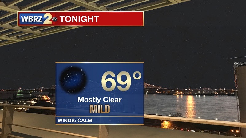
Tonight and Tomorrow: Mostly clear skies tonight, as temperatures will be slow to cool into the 70s around 10 PM. Lows will be around 69° overnight as we head into Sunday morning, with winds staying light out of the southeast. High pressure continues its reign into Sunday, keeping skies mostly sunny and temperatures hot. Highs will be topping out near 93° through the afternoon, as heat index values will be around 96°. The UV Index will be in the Extreme category through the remainder of the Memorial Day Weekend, so keep the sunscreen close and make sure to stay hydrated.
Up Next: Sunny and hot through Wednesday, with afternoon showers and storms returning Thursday.
THE EXPLANATION:
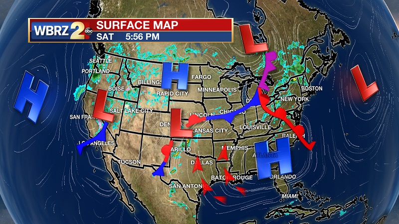
Strong high pressure through all levels of the atmosphere located to our east has kept conditions dry and warm over the last several days. This dominate feature will stay put along the Georgia/Florida border through the midweek. Temperatures will hover between 92° and 95° until Thursday, with heat index values around 97°. A fragmented cold front will approach from the northwest on Thursday, bringing afternoon showers and storms back into the forecast. Rain will stay isolated, since the front will be falling apart as it nears the Gulf Coast. This frontal boundary will stall through Saturday, keeping isolated shower chances through the afternoon.
Trending News
--Meteorologist Matt Callihan
The WBRZ Weather Team is here for you, on every platform. Your weather updates can be found on News 2, and the WBRZ WX App. on Apple and Android devices. Follow WBRZ Weather on Facebook and Twitter for even more weather updates while you are on the go.
More News
