

Latest Weather Blog
Gauges get a break
Weekend rainfall has put 2015 in record territory for several rainfall statistics.
The 2015 version ended up as the wettest October on record with 15.13”. Remarkably, almost all of that fell in just 4 days at the end of the month. To this point in the year with 65.40” of rain, only 4 years have found more rain. 1991 had 72.69” by the end of October. Already, 2015 is the 22nd wettest year on record—with two months to go. The record holder is 88.35” in 1989.
THE FORECAST:
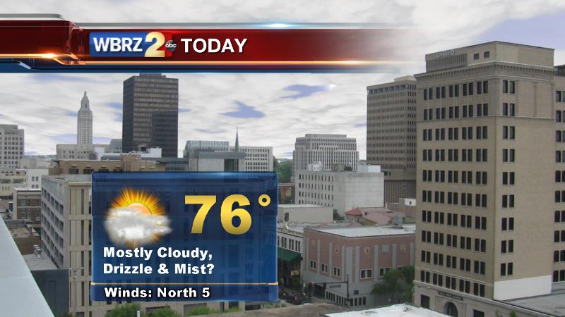
Today and Tonight: Lingering cloud cover will be stubborn through the afternoon. Some light drizzle, mist and perhaps a shower will linger through the day. Temperatures won’t cool much behind the weekend front, as it was Pacific and not Canadian in origin. Highs will be in the mid 70s. Overnight will be partly cloudy with a low in the low 60s.
Trending News
Looking Ahead: Mid-week will be relatively quiet. Patches of clouds will roll by on Tuesday and Wednesday with highs in the upper 70s and lows in the low to mid 60s. By Thursday and Friday a chance for showers and thunderstorms returns to the forecast and highs may actually make it into the low 80s with an unseasonably warm air mass entrenched over much of the Eastern United States.
THE SCIENCE:
Forecast Discussion: Once the upper level trough associated with the weekend rain can edge by tonight, some clearing can begin. A weak but broad ridge on the Eastern CONUS will bring generally dry and warmer than average conditions through mid-week. The next front will organize and approach the area from west to east as we near the upcoming weekend. Given the position of the sub-tropical jet stream, steering storm systems along the Gulf Coast, yet again we could have a surface low spin up at the tail end of this front. The result could be another wet and stormy weekend. Though as of now, forecast models are fairly progressive with the next front—kicking rain out of the region by Sunday with some cooler and drier air arriving. We’ll keep you posted as to how this next one evolves as more detail becomes available on the later forecast model runs.
--Josh
Stay connected with me… share your thoughts!
Twitter: @Josh_Eachus
Google+: Josh Eachus
Facebook: Meteorologist Josh Eachus
More News
