

Latest Weather Blog
Cold front brings showers to some holiday travelers
Though a few showers are possible, major delays are not anticipated for the Thanksgiving travelers.
THE FORECAST:
Today and Tonight: A weak cold front will bring mostly cloudy skies and a couple of showers to the area with perhaps an imbedded thunderstorm. A line of showers will be weakening as it crosses the forecast area between 10am – 4pm and thus it is possible that not all will receive rain. Highs will make it into the upper 70s by midday before any rain begins. Overnight, skies will clear with lows in the low 50s. If you will be traveling outside of Baton Rouge, local airport connectors look fine, with showers possible in Houston and Memphis. Relative to past years, national delays should be lower. Unsettled weather could cause a few minor problems for states along the Mississippi River and in the Pacific Northwest.
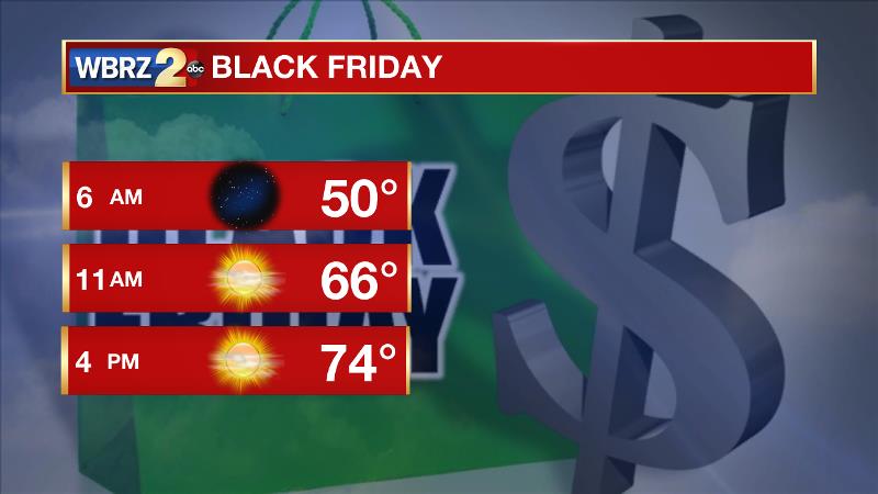
Up Next: For Thanksgiving and Black Friday, a few clouds may pass from time to time while temperatures remain seasonable. Afternoons will be mostly sunny with highs in the mid 70s and nights will be mostly clear with lows in the upper 40s to low 50s.
Trending News
The Tropics: After being designated Monday, Tropical Depression 16 quickly strengthened into Tropical Storm Otto by afternoon. The stationary storm has 60mph winds and is expected to drift west, eventually crossing Central America as a hurricane. The system will not affect the United States.
THE SCIENCE:
A fast moving shortwave trough will move across the Central U.S. Wednesday. An associated cold front will move across the country and the Gulf Coast as well. The front will come into a region of increasingly stable air. Therefore, despite having the potential to create a few severe thunderstorms west of the local area thanks to upper level speed shear and ample moisture—that is not for Southeast Louisiana and Southern Mississippi. A weakening line of showers should move into the area by afternoon with perhaps a few leftover thunderstorms. As the trough flattens out to our north, the front will slow down as it reaches the Gulf of Mexico and thus a few clouds may linger overnight into Thanksgiving. With a Pacific air mass, no significant cool down is expected beyond the front and temperatures will remain seasonable for Thanksgiving and even Friday. Another weak upper wave and possible a weak cold front will cross Later Friday again holding seasonable air for the weekend. A few impulses riding through a fast jet may bring times of passing clouds through Saturday. After that, forecast models are hinting at a much stronger system for early next week. There is agreement that a strong surface low pressure system will develop in the Midwest with a deep moisture field along the Central Gulf Coast. This could result in a period of beneficial rain. However, this is a climatologically favorable time of year for severe weather and depending on the orientation and position of an associated upper trough; strong storms could be on the table. Stick with us as we keep an eye on this.
--Josh
More News
